Approximate Location Map
Large Map »
Latitude: 52.5368 / 52°32'12"N
Longitude: -2.4194 / 2°25'9"W
OS Eastings: 371648
OS Northings: 293299
OS Grid: SO716932
Mapcode National: GBR BZ.F72N
Mapcode Global: VH90Z.0HTM
Plus Code: 9C4VGHPJ+P6
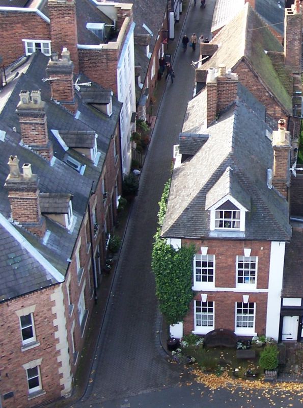
Entry Name: 6-8, Church Street
Listing Date: 9 March 1970
Grade: II
Source: Historic England
Source ID: 1053989
English Heritage Legacy ID: 254392
ID on this website: 101053989
Location: High Town, Shropshire, WV16
County: Shropshire
Civil Parish: Bridgnorth
Built-Up Area: Bridgnorth
Traditional County: Shropshire
Lieutenancy Area (Ceremonial County): Shropshire
Church of England Parish: Bridgnorth
Church of England Diocese: Hereford
Tagged with: Building
1.
1954 BRIDGNORTH
CHURCH STREET
(North side)
Nos 6 to 8 (consec)
SO 79 SW 2/54 9.3.70.
II
2.
Early C19. Red brick; 2 storeys; 2 widely-spaced sash windows; simple
doorway. Returned side to St Leonard's Close has 2 sash windows with
keyblocks, full height stone pilasters at sides, stone eaves cornice and
hipped roof of old tiles.
Listing NGR: SO7164893299
External links are from the relevant listing authority and, where applicable, Wikidata. Wikidata IDs may be related buildings as well as this specific building. If you want to add or update a link, you will need to do so by editing the Wikidata entry.


Other nearby listed buildings
