Approximate Location Map
Large Map »
Latitude: 52.5343 / 52°32'3"N
Longitude: -2.4187 / 2°25'7"W
OS Eastings: 371697
OS Northings: 293014
OS Grid: SO716930
Mapcode National: GBR BZ.FF7Y
Mapcode Global: VH90Z.1K6L
Plus Code: 9C4VGHMJ+PG
Entry Name: 28 and 29, East Castle Street
Listing Date: 9 March 1970
Grade: II
Source: Historic England
Source ID: 1177401
English Heritage Legacy ID: 254415
ID on this website: 101177401
Location: Bridgnorth, Shropshire, WV16
County: Shropshire
Civil Parish: Bridgnorth
Built-Up Area: Bridgnorth
Traditional County: Shropshire
Lieutenancy Area (Ceremonial County): Shropshire
Church of England Parish: Bridgnorth
Church of England Diocese: Hereford
Tagged with: Building
1.
1954 BIRIDGNORTH
EAST CASTLE STREET
(East Side)
Nos 28 and 29
SO 79 SW 2/77 9.3.70.
II GV
2.
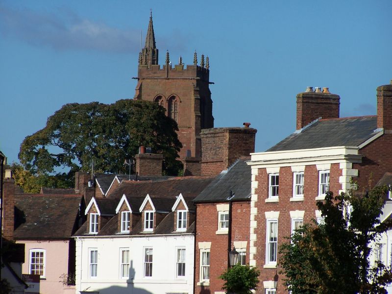
Early C19 remodelling of earlier house. Plaster; 2 storeys and attic;
4 modern sash windows; sill band; angle quoins; 2 plain doorcases; 4 gabled
dormers with brick cheeks; mainly old tiles. Included for group value.
Nos 18 to 33 (consec) form a group
Listing NGR: SO7169793014
External links are from the relevant listing authority and, where applicable, Wikidata. Wikidata IDs may be related buildings as well as this specific building. If you want to add or update a link, you will need to do so by editing the Wikidata entry.


Other nearby listed buildings
