Approximate Location Map
Large Map »
Latitude: 52.5371 / 52°32'13"N
Longitude: -2.3056 / 2°18'20"W
OS Eastings: 379365
OS Northings: 293295
OS Grid: SO793932
Mapcode National: GBR 08F.ZWX
Mapcode Global: VH910.ZHGD
Plus Code: 9C4VGMPV+RP
Entry Name: 12 and 13, High Street
Listing Date: 1 February 1974
Grade: II
Source: Historic England
Source ID: 1188356
English Heritage Legacy ID: 254666
ID on this website: 101188356
Location: Claverley, Shropshire, WV5
County: Shropshire
Civil Parish: Claverley
Built-Up Area: Claverley
Traditional County: Shropshire
Lieutenancy Area (Ceremonial County): Shropshire
Church of England Parish: Claverley
Church of England Diocese: Hereford
Tagged with: Building
1.
1954 CLAVERLEY CLAVERLEY
HIGH STREET
Nos 12 and 13
SO 79 SE 23/17
II
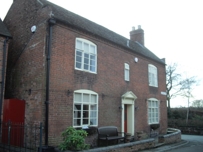
2.
Early C19. Red brick; 2 storeys; 2 casement windows and small central
window, all with cambered heads; moulded wood pilaster doorcase and small
shop window on right-hand side; stone coped gable ends; old tiles. No
13, on right-hand side, has advanced gabled front. Wrought-iron railings
and gate.
Listing NGR: SO7936693296
External links are from the relevant listing authority and, where applicable, Wikidata. Wikidata IDs may be related buildings as well as this specific building. If you want to add or update a link, you will need to do so by editing the Wikidata entry.


Other nearby listed buildings
