Approximate Location Map
Large Map »
Latitude: 52.5151 / 52°30'54"N
Longitude: -2.4227 / 2°25'21"W
OS Eastings: 371411
OS Northings: 290885
OS Grid: SO714908
Mapcode National: GBR BZ.GL94
Mapcode Global: VH83P.Y1LR
Plus Code: 9C4VGH8G+2W
Entry Name: Moor Ridding Farm House
Listing Date: 1 February 1974
Grade: II
Source: Historic England
Source ID: 1188542
English Heritage Legacy ID: 254697
ID on this website: 101188542
Location: Eardington, Shropshire, WV16
County: Shropshire
Civil Parish: Eardington
Traditional County: Shropshire
Lieutenancy Area (Ceremonial County): Shropshire
Church of England Parish: Oldbury
Church of England Diocese: Hereford
Tagged with: Farmhouse
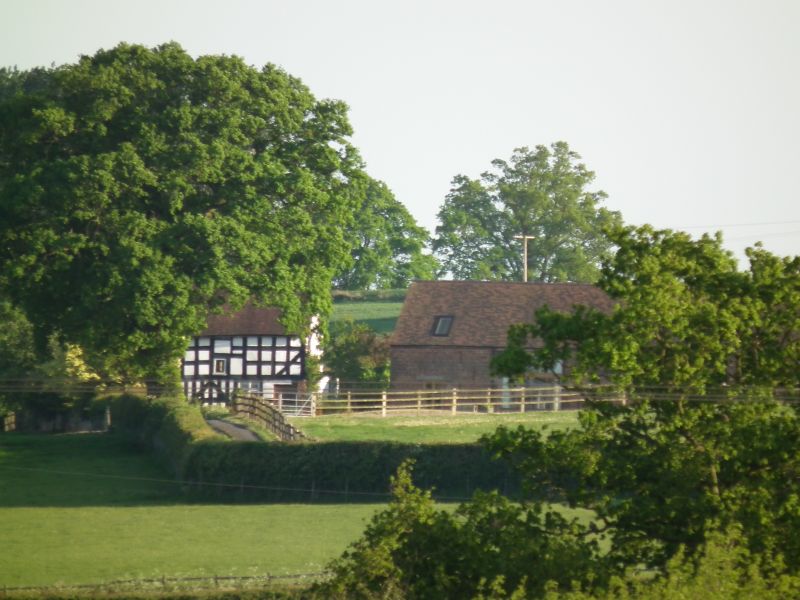
1.
1954 EARDINGTON
Moor Ridding
Farm House
SO 79 SW 22/11
II
2.
C17 Timber framed, stone and brick with tiled roof and brick stack;
2 storeys; 2 modern casement windows. L-shaped on plan.
Listing NGR: SO7141190885
External links are from the relevant listing authority and, where applicable, Wikidata. Wikidata IDs may be related buildings as well as this specific building. If you want to add or update a link, you will need to do so by editing the Wikidata entry.


Other nearby listed buildings
