Approximate Location Map
Large Map »
Latitude: 52.5419 / 52°32'30"N
Longitude: -2.4886 / 2°29'18"W
OS Eastings: 366960
OS Northings: 293897
OS Grid: SO669938
Mapcode National: GBR BW.DVDM
Mapcode Global: VH83G.TC7Q
Plus Code: 9C4VGGR6+QH
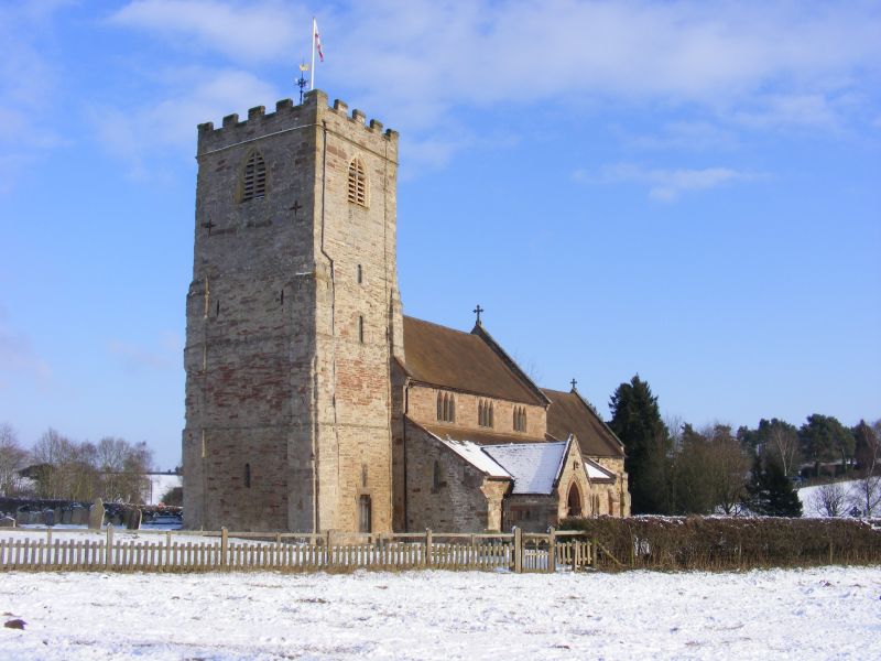
Entry Name: Church of St Gregory
Listing Date: 9 March 1970
Grade: I
Source: Historic England
Source ID: 1053840
English Heritage Legacy ID: 254758
ID on this website: 101053840
Location: St Gregory's Church, Morville, Shropshire, WV16
County: Shropshire
Civil Parish: Morville
Traditional County: Shropshire
Lieutenancy Area (Ceremonial County): Shropshire
Church of England Parish: Morville
Church of England Diocese: Hereford
Tagged with: Church building
SQ69SE MORVILLE MORVILLE
9.3.70 Church of St Gregory
823/21/16
I
Collegiate church with long chancel, mostly late Norman. Fine early Norman chancel arch. Nave arcades have Transitional mouldings. The tall western tower has thick walls with flat buttresses. Cl4 stained glass window in chancel. Norman font.
Listing NGR: SO6695493896
External links are from the relevant listing authority and, where applicable, Wikidata. Wikidata IDs may be related buildings as well as this specific building. If you want to add or update a link, you will need to do so by editing the Wikidata entry.


Other nearby listed buildings
