Approximate Location Map
Large Map »
Latitude: 52.77 / 52°46'12"N
Longitude: -2.379 / 2°22'44"W
OS Eastings: 374529
OS Northings: 319225
OS Grid: SJ745192
Mapcode National: GBR 7Z.YJNP
Mapcode Global: WH9CR.FMDS
Plus Code: 9C4VQJCC+2C
Entry Name: 34, St Mary Street
Listing Date: 29 June 1978
Grade: II
Source: Historic England
Source ID: 1294976
English Heritage Legacy ID: 255434
ID on this website: 101294976
Location: Newport, Telford and Wrekin, Shropshire, TF10
County: Telford and Wrekin
Civil Parish: Newport
Built-Up Area: Newport
Traditional County: Shropshire
Lieutenancy Area (Ceremonial County): Shropshire
Church of England Parish: Newport St Nicholas
Church of England Diocese: Lichfield
Tagged with: Building
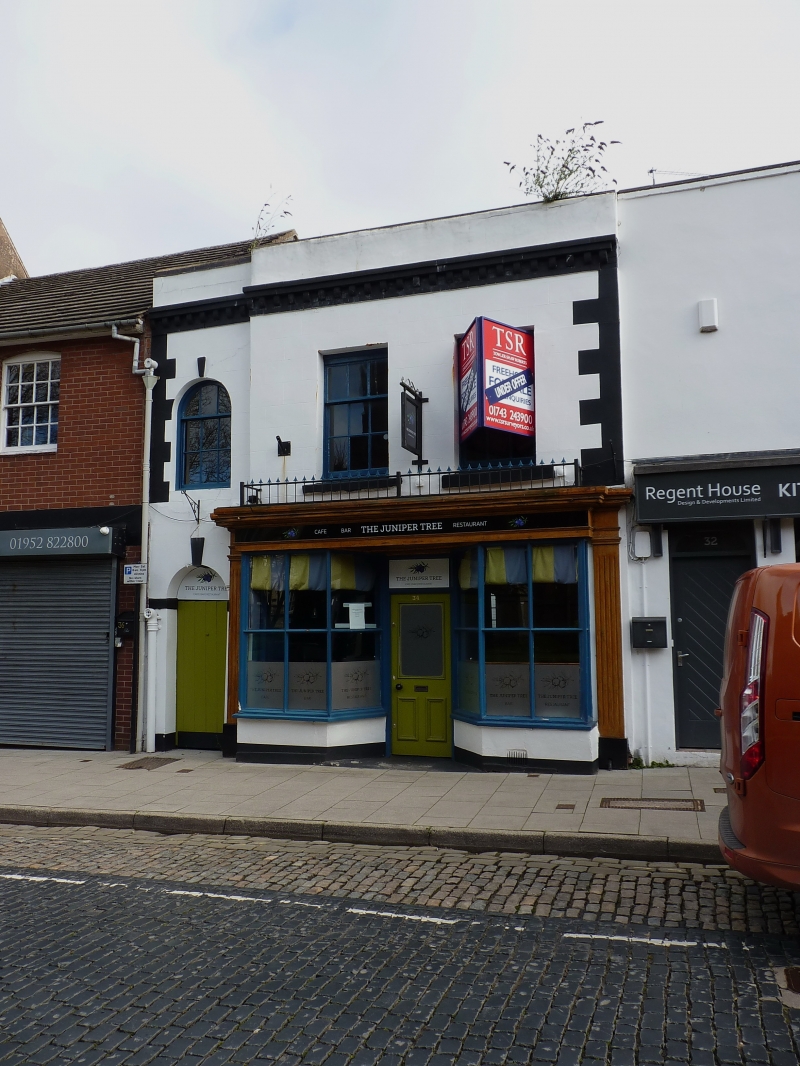
ST MARY STREET
1.
5362
(East Side)
No 34
SJ 7419 SE 1/108
II
2.
Early C19 engraved stucco front to C17 timber frame revealed internally. 2
storeys; 2 sash windows; modillion cornice; parapet. Later C19 shop front
with modern glazing. Interior with exposed ceiling timbers to ground storey.
Listing NGR: SJ7452919225
External links are from the relevant listing authority and, where applicable, Wikidata. Wikidata IDs may be related buildings as well as this specific building. If you want to add or update a link, you will need to do so by editing the Wikidata entry.


Other nearby listed buildings
