Approximate Location Map
Large Map »
Latitude: 52.8568 / 52°51'24"N
Longitude: -3.0583 / 3°3'30"W
OS Eastings: 328835
OS Northings: 329334
OS Grid: SJ288293
Mapcode National: GBR 73.S1M1
Mapcode Global: WH78R.ZGT8
Plus Code: 9C4RVW4R+PM
Entry Name: Sundial Approximately 30 Metres South West of Church of St Oswald
Listing Date: 15 May 1986
Grade: II
Source: Historic England
Source ID: 1054333
English Heritage Legacy ID: 255522
ID on this website: 101054333
Location: St Oswald's Church, Croesoswallt, Shropshire, SY11
County: Shropshire
Civil Parish: Oswestry
Built-Up Area: Croesowallt
Traditional County: Shropshire
Lieutenancy Area (Ceremonial County): Shropshire
Church of England Parish: Oswestry St Oswald King and Martyr
Church of England Diocese: Lichfield
Tagged with: Sundial
SJ 2829 SE OSWESTRY C.P. CHURCH STREET (west side)
15/52 Sundial approx. 30m
south-west of tower
of Church of St. Oswald
GV II
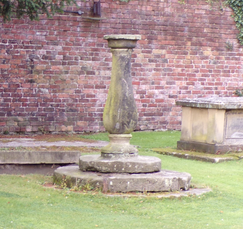
Sundial. Mid- to late C18. Sandstone. Baluster shape with moulded
plinth and capping set on 3 circular steps.
Listing NGR: SJ2883529334
External links are from the relevant listing authority and, where applicable, Wikidata. Wikidata IDs may be related buildings as well as this specific building. If you want to add or update a link, you will need to do so by editing the Wikidata entry.


Other nearby listed buildings
