Approximate Location Map
Large Map »
Latitude: 52.4257 / 52°25'32"N
Longitude: -2.9813 / 2°58'52"W
OS Eastings: 333369
OS Northings: 281315
OS Grid: SO333813
Mapcode National: GBR B7.N6PC
Mapcode Global: VH76B.89R8
Plus Code: 9C4VC2G9+7F
Entry Name: Old Farmhouse
Listing Date: 1 December 1951
Grade: II*
Source: Historic England
Source ID: 1054967
English Heritage Legacy ID: 257575
ID on this website: 101054967
Location: Clunton, Shropshire, SY7
County: Shropshire
Civil Parish: Clunbury
Traditional County: Shropshire
Lieutenancy Area (Ceremonial County): Shropshire
Church of England Parish: Clunbury with Clunton
Church of England Diocese: Hereford
Tagged with: Farmhouse
SO 38 SW
3/70
1.12.51
CLUNBURY C.P.
CLUNTON
Old Farmhouse
GV
II*
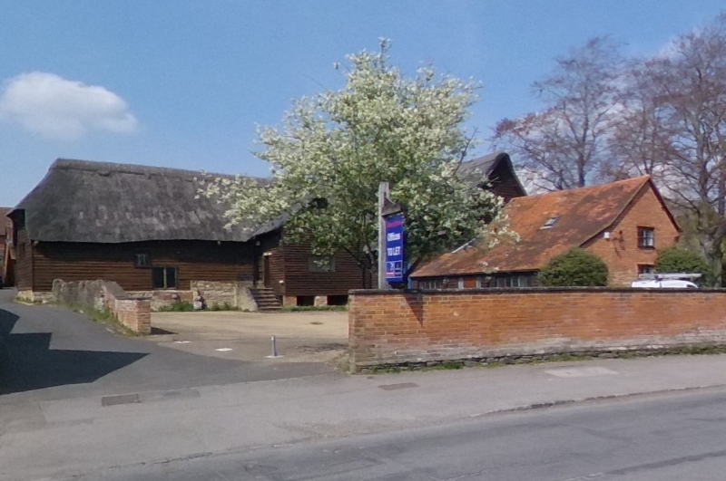
Farmhouse. Late C16 or early C17 with later additions and alterations.
Timber framed with painted brick and rendered infill; asbestos sheeting
to gable ends and rear; asbestos slate roof. Original 3-cell baffle-
entry plan extended to right in late C17 but added bay now demolished.
One storey and attic. Framing: small square panels, 5 from cill to wall-
plate; jettied full dormer to right of centre has moulded bressumer and
carved corner brackets. First floor to right of doorway (including dormer)
possibly rebuilt in C17 as framing has slightly larger scantling.
Irregular C19 fenestration; fixed-light window and paired casement to
left of roughly central entrance with small fixed-light window directly
below eaves above casement. Cast-iron casement and small fixed-light window
to right of doorway with cast-iron casement to left of dormer below
bressumer. Entrance has C17 nail-studded plank door with fleur-de-lys
pointed strap hinges under C19 gabled hood. Prominent brown brick axial
ridge stack immediately to left, its width indicated by rubblestone visible
in back wall. Interior: chamfered spine beam and heavy joists to left
ground-floor room; deep-chamfered spine beam to centre room. Right ground-
floor room has oak winder staircase; moulded handrail and turned balusters
on first floor probably early C18. Collar and tie beam roof truss exposed
between first and second bays from right on first floor. Demolished bay
is said to have had oak-panelled parlour on ground floor. Graded II* on
account of exceptionally well-preserved small-panel framing. Eric Mercer,
English Vernacular Houses (H.M.S.O. 1975), p. 196.
Listing NGR: SO3336981315
External links are from the relevant listing authority and, where applicable, Wikidata. Wikidata IDs may be related buildings as well as this specific building. If you want to add or update a link, you will need to do so by editing the Wikidata entry.


Other nearby listed buildings
