Approximate Location Map
Large Map »
Latitude: 51.1242 / 51°7'27"N
Longitude: -3.2351 / 3°14'6"W
OS Eastings: 313658
OS Northings: 136829
OS Grid: ST136368
Mapcode National: GBR LV.9J6Y
Mapcode Global: VH6H3.W02H
Plus Code: 9C3R4QF7+MX
Entry Name: Crowcombe House
Listing Date: 24 August 1984
Grade: II
Source: Historic England
Source ID: 1345694
English Heritage Legacy ID: 265094
ID on this website: 101345694
Location: Crowcombe, Somerset, TA4
County: Somerset
District: Somerset West and Taunton
Civil Parish: Crowcombe
Traditional County: Somerset
Lieutenancy Area (Ceremonial County): Somerset
Tagged with: House
ST1336 CROWCOMBE CP
15/46 Crowcombe House
24.8.84
GV II
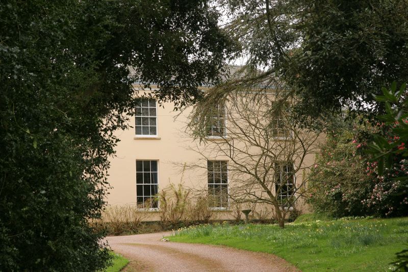
House. Early C19. Rendered over rubble, ashlar plinth, quoin strips, hipped slate roof concealed behind parapet with
modillion cornice. Double pile. 2 storeys, 3 bays; 12 pane sash windows, central early C19 door, partially glazed
with marginal glazing bars, panelled reveals, inserted fanlight with glazing bars; flat roofed Tuscan porch with raised
and fielded panels in frieze, imported from Taunton.
Listing NGR: ST1365836829
External links are from the relevant listing authority and, where applicable, Wikidata. Wikidata IDs may be related buildings as well as this specific building. If you want to add or update a link, you will need to do so by editing the Wikidata entry.


Other nearby listed buildings
