Approximate Location Map
Large Map »
Latitude: 51.1971 / 51°11'49"N
Longitude: -3.1935 / 3°11'36"W
OS Eastings: 316702
OS Northings: 144888
OS Grid: ST167448
Mapcode National: GBR LX.4W6W
Mapcode Global: VH6GR.L5LM
Plus Code: 9C3R5RW4+RH
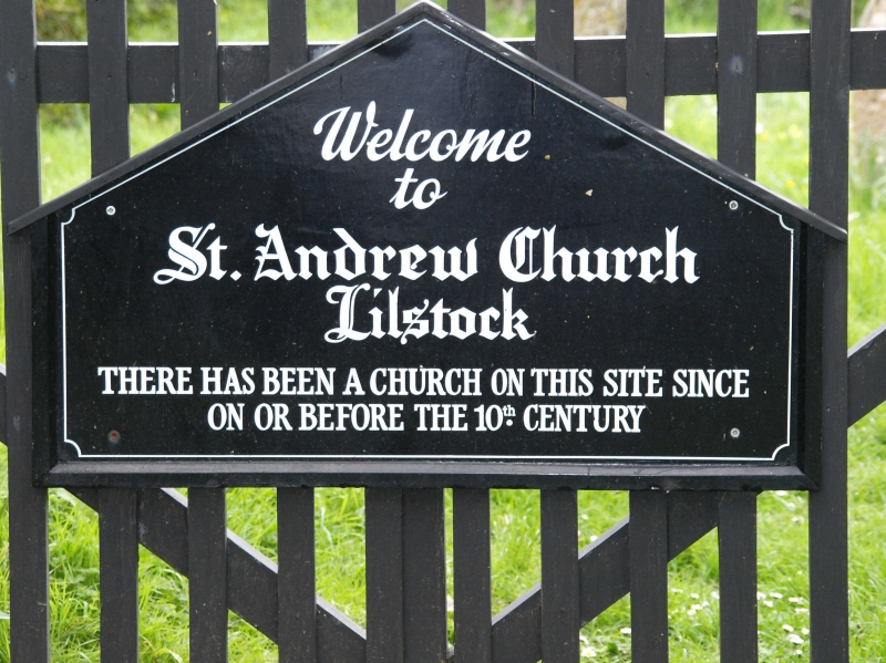
Entry Name: Church of St Andrew
Listing Date: 22 May 1969
Last Amended: 16 November 1984
Grade: II
Source: Historic England
Source ID: 1308170
English Heritage Legacy ID: 265254
ID on this website: 101308170
Location: Lilstock, Somerset, TA5
County: Somerset
District: Somerset West and Taunton
Civil Parish: Stringston
Traditional County: Somerset
Lieutenancy Area (Ceremonial County): Somerset
Tagged with: Church building
ST14SE STRINGSTON CP LILSTOCK
6/204 Church of St. Andrew
(previously listed as Remains of
St Andrew's Church (now used as a
Mortuary Chapel)
22.5.69
II
Church, now redundant. C14 chancel arch alone remains of earlier Church demolished 1881 when present structure
erected. Blue lias and pebble random rubble, Ham stone dressings, slate roofs, decorative bargeboards gable Ends,
Single cell on site of chancel of earlier Church, porch West end, bell-cote set on gable end above. Porch: lean-to
hipped roof, quoins, shouldered entrance, arched doorway with hoodnould, double doors, decorative hinges Tiled
bell-cote, steeply pitched pyramid roof, pierced wooden opening, slate-hung base, no bell, Arched 2-light window at
East end, completely obscured externally by ivy. Wrought iron crosses East gable end and on bell-cote, Interior: C14
chancel arch on innerface of entrance wall, otherwise the only features of interest are 2 memorial slabs set in the
North wall to Joanne Popham, died 1714, lime- washed blue lias, and to John Buller, died 1765, slate; both
distinguished by good lettering and a robustly naive use of classical motifs. The Victorian floor tiles have mostly
been removed, many slates are missing and the East end is overgrown with ivy at time of survey, (August 1983). The
Church was declared redundant 1980, and the Norman front removed to Stogursey Church in 1981. (Kellys Directory, 1902;
VCH Somerset, Vol.5 forthcoming; photographs in NMR).
Listing NGR: ST1670244888
External links are from the relevant listing authority and, where applicable, Wikidata. Wikidata IDs may be related buildings as well as this specific building. If you want to add or update a link, you will need to do so by editing the Wikidata entry.


Other nearby listed buildings
