Approximate Location Map
Large Map »
Latitude: 52.6874 / 52°41'14"N
Longitude: -2.1851 / 2°11'6"W
OS Eastings: 387582
OS Northings: 309981
OS Grid: SJ875099
Mapcode National: GBR 186.DCM
Mapcode Global: WHBFC.DQP4
Plus Code: 9C4VMRP7+XW
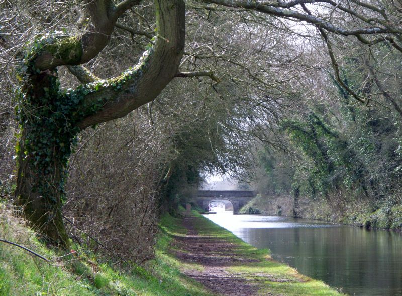
Entry Name: Shropshire Union Canal Number 16 (Broomhall Bridge)
Listing Date: 28 March 1985
Grade: II
Source: Historic England
Source ID: 1039351
English Heritage Legacy ID: 271408
ID on this website: 101039351
Location: Shutt Green, South Staffordshire, ST19
County: Staffordshire
District: South Staffordshire
Civil Parish: Brewood and Coven
Traditional County: Staffordshire
Lieutenancy Area (Ceremonial County): Staffordshire
Church of England Parish: Brewood St Mary and St Chad
Church of England Diocese: Lichfield
BREWOOD C.P. SHROPSHIRE UNION CANAL
SJ 80 NE
4/97 No. 16 (Broomhall Bridge)
- II
Road bridge over canal. C1830. Brick.
Semi elliptical arch; band to plain parapet.
Listing NGR: SJ8758209981
External links are from the relevant listing authority and, where applicable, Wikidata. Wikidata IDs may be related buildings as well as this specific building. If you want to add or update a link, you will need to do so by editing the Wikidata entry.


Other nearby listed buildings
