Approximate Location Map
Large Map »
Latitude: 52.8592 / 52°51'33"N
Longitude: -2.2578 / 2°15'28"W
OS Eastings: 382739
OS Northings: 329114
OS Grid: SJ827291
Mapcode National: GBR 15Z.L0W
Mapcode Global: WHBDK.9D3D
Plus Code: 9C4VVP5R+MV
Entry Name: Churchyard Wall of Church of the Holy Trinity
Listing Date: 25 April 1980
Grade: II
Source: Historic England
Source ID: 1374167
English Heritage Legacy ID: 272147
ID on this website: 101374167
Location: Eccleshall, Stafford, Staffordshire, ST21
County: Staffordshire
District: Stafford
Civil Parish: Eccleshall
Built-Up Area: Eccleshall
Traditional County: Staffordshire
Lieutenancy Area (Ceremonial County): Staffordshire
Church of England Parish: Eccleshall Holy Trinity
Church of England Diocese: Lichfield
Tagged with: Churchyard wall
ECCLESHALL CHURCH STREET
1.
5373
(north side)
Eccleshall
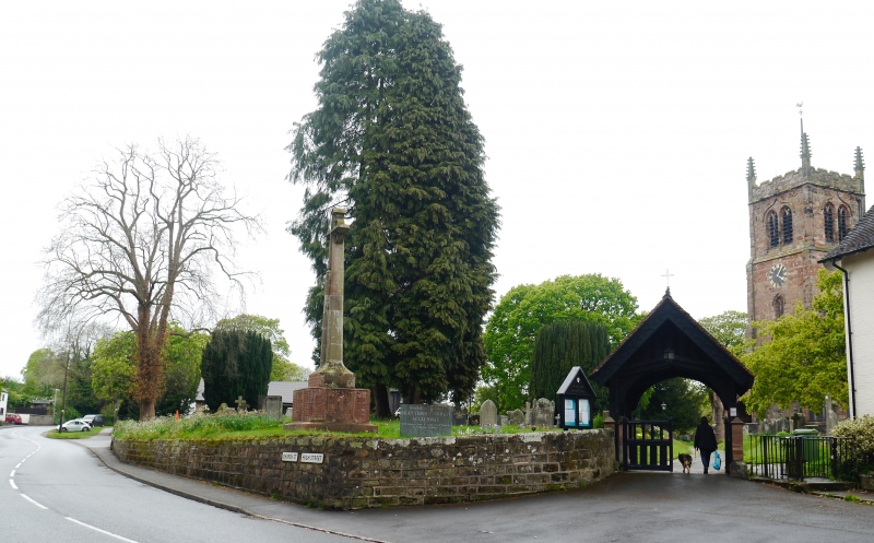
Churchyard wall of
SJ 8229 19/40 Church of the Holy Trinity
II
2.
Probably C18 restored. Coursed stone rubble retaining wall,extending over
south side of churchyard.
Listing NGR: SJ8273929114
External links are from the relevant listing authority and, where applicable, Wikidata. Wikidata IDs may be related buildings as well as this specific building. If you want to add or update a link, you will need to do so by editing the Wikidata entry.


Other nearby listed buildings
