Approximate Location Map
Large Map »
Latitude: 53.089 / 53°5'20"N
Longitude: -1.7937 / 1°47'37"W
OS Eastings: 413910
OS Northings: 354663
OS Grid: SK139546
Mapcode National: GBR 47V.9BP
Mapcode Global: WHCDR.FM28
Plus Code: 9C5W36Q4+JG
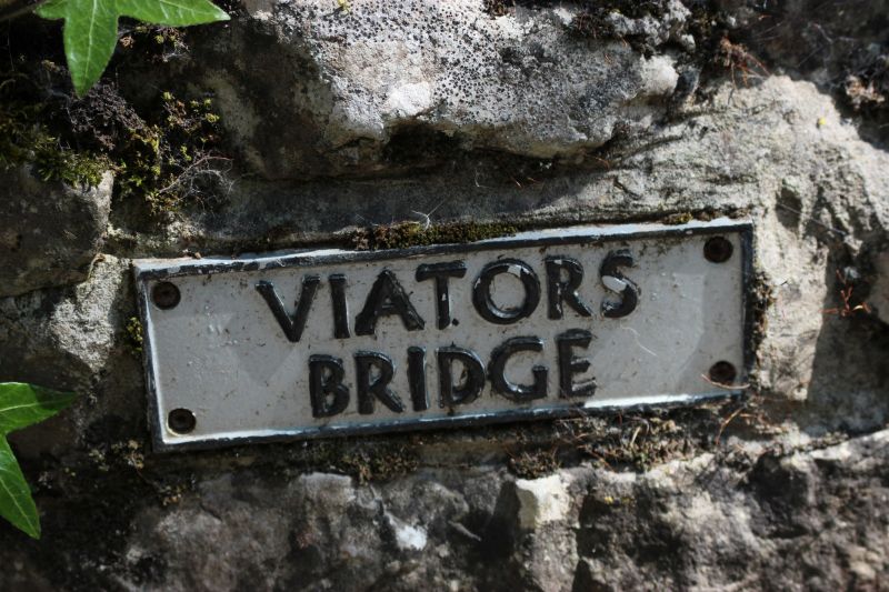
Entry Name: Viator's Bridge (That Part in Staffordshire)
Listing Date: 15 March 1985
Grade: II
Source: Historic England
Source ID: 1374581
English Heritage Legacy ID: 274390
ID on this website: 101374581
Location: Milldale, Staffordshire Moorlands, Staffordshire, DE6
County: Staffordshire
District: Staffordshire Moorlands
Civil Parish: Alstonefield
Traditional County: Staffordshire
Lieutenancy Area (Ceremonial County): Staffordshire
Church of England Parish: Tissington St Mary
Church of England Diocese: Derby
SK 15 SW ALSTONEFIELD C.P. MILLDALE
8/37 Viator's Bridge (That
- part in Staffordshire)
II
Packhorse bridge. Probably early Cl6. Ashlar with random rubble
parapet. 2 roughly 4-centred arches spanning the River Dove with a
buttress between the 2. Mentioned in The Compleat Angler by Izaak
Walton.
Listing NGR: SK1391054663
External links are from the relevant listing authority and, where applicable, Wikidata. Wikidata IDs may be related buildings as well as this specific building. If you want to add or update a link, you will need to do so by editing the Wikidata entry.


Other nearby listed buildings
