Approximate Location Map
Large Map »
Latitude: 52.0398 / 52°2'23"N
Longitude: 0.731 / 0°43'51"E
OS Eastings: 587401
OS Northings: 241448
OS Grid: TL874414
Mapcode National: GBR QHJ.5M3
Mapcode Global: VHKF3.MZ9Q
Plus Code: 9F422PQJ+W9
Entry Name: 9 and 9A, North Street
Listing Date: 26 October 1971
Grade: II
Source: Historic England
Source ID: 1285262
English Heritage Legacy ID: 276108
ID on this website: 101285262
Location: Sudbury, Babergh, Suffolk, CO10
County: Suffolk
District: Babergh
Civil Parish: Sudbury
Built-Up Area: Sudbury
Traditional County: Suffolk
Lieutenancy Area (Ceremonial County): Suffolk
Church of England Parish: Sudbury St Gregory with Chilton St Peter
Church of England Diocese: St.Edmundsbury and Ipswich
Tagged with: Building
1.
1692
TL 8741
3/111
NORTH STREET
(West Side)
No 9
No 9A
II
GV
2.
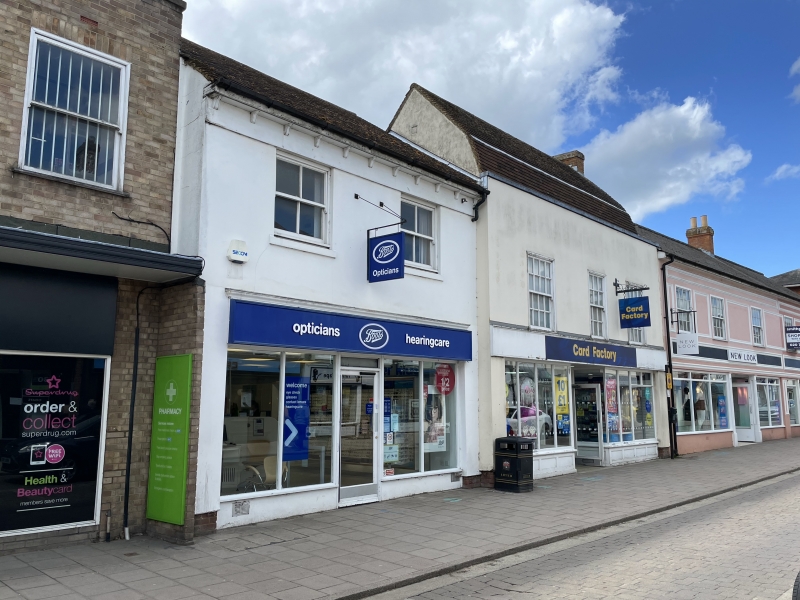
C18, 2 storey and attics timber framed and plastered, tiled mansard
roof. Parapet, front, 3 window range, sash with glazing bars and flush
frames. Attic window in gable. Ground floor modern shop. House and
shop.
Nos 1 to 7 (consec) Nos 9, 9A and No l0 form a group.
Listing NGR: TL8740141448
External links are from the relevant listing authority and, where applicable, Wikidata. Wikidata IDs may be related buildings as well as this specific building. If you want to add or update a link, you will need to do so by editing the Wikidata entry.


Other nearby listed buildings
