Approximate Location Map
Large Map »
Latitude: 51.3327 / 51°19'57"N
Longitude: -0.2692 / 0°16'9"W
OS Eastings: 520671
OS Northings: 160715
OS Grid: TQ206607
Mapcode National: GBR 93.W82
Mapcode Global: VHGRP.9R0P
Plus Code: 9C3X8PMJ+38
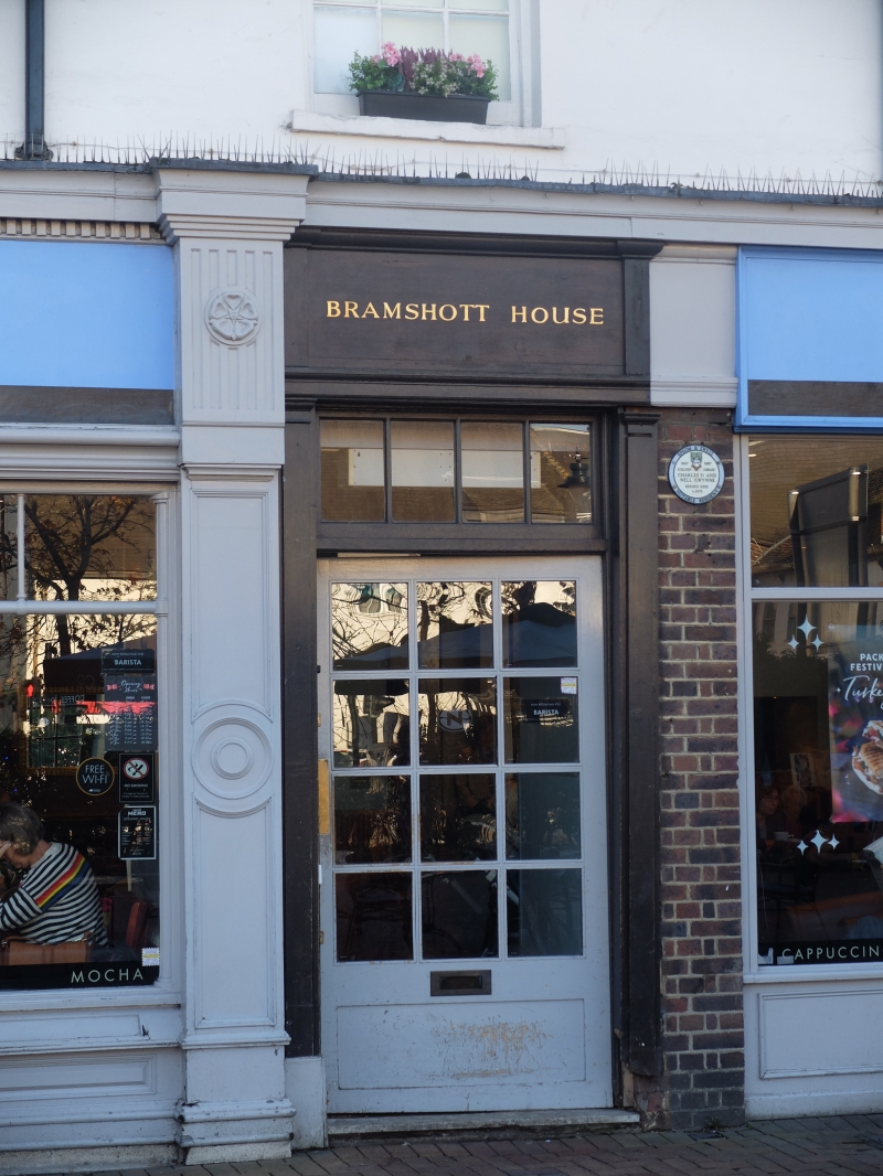
Entry Name: 137A and 139, High Street
Listing Date: 10 April 1954
Grade: II
Source: Historic England
Source ID: 1213173
English Heritage Legacy ID: 290698
ID on this website: 101213173
Location: Epsom, Epsom and Ewell, Surrey, KT19
County: Surrey
District: Epsom and Ewell
Electoral Ward/Division: Town
Parish: Non Civil Parish
Built-Up Area: Epsom
Traditional County: Surrey
Lieutenancy Area (Ceremonial County): Surrey
Church of England Parish: Epsom St Martin
Church of England Diocese: Guildford
Tagged with: Building
1086 EPSOM HIGH STREET
(South Side)
TQ 2060 3/51 10.4.54. Nos 137A & 139
GV II
Late C17. Two storeys and attic, plastered. Three sash windows. Large square hipped old tile roof with wide eaves. Three flat top dormers. Simple C20 shops to ground floor.
Listing NGR: TQ2067160715
External links are from the relevant listing authority and, where applicable, Wikidata. Wikidata IDs may be related buildings as well as this specific building. If you want to add or update a link, you will need to do so by editing the Wikidata entry.


Other nearby listed buildings
