Approximate Location Map
Large Map »
Latitude: 51.1164 / 51°6'59"N
Longitude: 0.1154 / 0°6'55"E
OS Eastings: 548158
OS Northings: 137366
OS Grid: TQ481373
Mapcode National: GBR LNG.S0X
Mapcode Global: VHHQH.Y6CG
Plus Code: 9F324488+H5
Entry Name: Bolebroke Mill
Listing Date: 31 December 1982
Grade: II
Source: Historic England
Source ID: 1028287
English Heritage Legacy ID: 296279
ID on this website: 101028287
Location: Hartwell, Wealden, East Sussex, TN7
County: East Sussex
District: Wealden
Civil Parish: Hartfield
Traditional County: Sussex
Lieutenancy Area (Ceremonial County): East Sussex
Church of England Parish: Hartfield St Mary
Church of England Diocese: Chichester
Tagged with: Mill
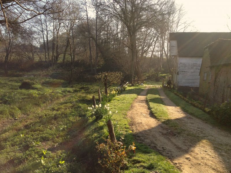
HARTFIELD Bolebroke Mill
1.
5208
TQ 43 NE 5/91A
II GV
2.
To the east of the Mill House. C18. Ground floor sandstone ashlar, above
faced with weather-boarding. Tiled roof. Casement windows. Three storeys.
Two windows.
Listing NGR: TQ4815837366
External links are from the relevant listing authority and, where applicable, Wikidata. Wikidata IDs may be related buildings as well as this specific building. If you want to add or update a link, you will need to do so by editing the Wikidata entry.


Other nearby listed buildings
