Approximate Location Map
Large Map »
Latitude: 50.842 / 50°50'31"N
Longitude: -0.6626 / 0°39'45"W
OS Eastings: 494260
OS Northings: 105567
OS Grid: SU942055
Mapcode National: GBR FJ8.19J
Mapcode Global: FRA 96HW.3PG
Plus Code: 9C2XR8RP+QX
Entry Name: Merryend
Listing Date: 20 September 1984
Grade: II
Source: Historic England
Source ID: 1027742
English Heritage Legacy ID: 297680
ID on this website: 101027742
Location: Westergate, Arun, West Sussex, PO20
County: West Sussex
District: Arun
Civil Parish: Aldingbourne
Built-Up Area: Westergate
Traditional County: Sussex
Lieutenancy Area (Ceremonial County): West Sussex
Church of England Parish: Aldingbourne, Barnham and Eastergate
Church of England Diocese: Chichester
Tagged with: Building
SU 90 NW
7/453
ALDINGBOURNE
NYTON ROAD, EASTERGATE
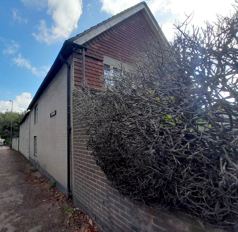
Merryend
II
C18. Two storeys. Three windows. Faced with flints with brick dressings and quoins,
all now painted. Tiled roof. Casement windows. C19 addition of two window-bays to
the west in painted brick with slate roof.
Listing NGR: SU9426005567
External links are from the relevant listing authority and, where applicable, Wikidata. Wikidata IDs may be related buildings as well as this specific building. If you want to add or update a link, you will need to do so by editing the Wikidata entry.


Other nearby listed buildings
