Approximate Location Map
Large Map »
Latitude: 50.8112 / 50°48'40"N
Longitude: -0.5134 / 0°30'48"W
OS Eastings: 504835
OS Northings: 102347
OS Grid: TQ048023
Mapcode National: GBR GL5.31F
Mapcode Global: FRA 96TY.FTZ
Plus Code: 9C2XRF6P+FM
Entry Name: The Front Garden Wall of No 28
Listing Date: 15 July 1976
Grade: II
Source: Historic England
Source ID: 1221502
English Heritage Legacy ID: 298051
ID on this website: 101221502
Location: Rustington, Arun, West Sussex, BN16
County: West Sussex
District: Arun
Civil Parish: Rustington
Built-Up Area: Littlehampton
Traditional County: Sussex
Lieutenancy Area (Ceremonial County): West Sussex
Church of England Parish: Rushington
Church of England Diocese: Chichester
Tagged with: Architectural structure
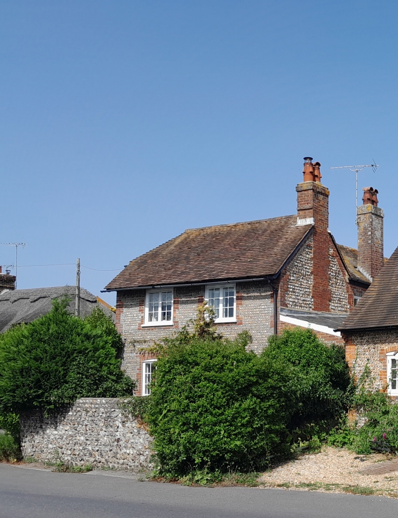
TQ 0502 RUSTINGTON THE STREET
26/153A (north side)
15.7.76
GV The front Garden Wall
of No 28
II
This was originally three sides of the former village pound. C19 or earlier. Built
of cobbles.
Listing NGR: TQ0484302357
External links are from the relevant listing authority and, where applicable, Wikidata. Wikidata IDs may be related buildings as well as this specific building. If you want to add or update a link, you will need to do so by editing the Wikidata entry.


Other nearby listed buildings
