Approximate Location Map
Large Map »
Latitude: 50.8877 / 50°53'15"N
Longitude: -0.3271 / 0°19'37"W
OS Eastings: 517767
OS Northings: 111130
OS Grid: TQ177111
Mapcode National: GBR HLS.83Q
Mapcode Global: FRA B66R.GDT
Plus Code: 9C2XVMQF+35
Entry Name: 24, High Street
Listing Date: 15 March 1955
Grade: II
Source: Historic England
Source ID: 1194825
English Heritage Legacy ID: 298694
ID on this website: 101194825
Location: Steyning, Horsham, West Sussex, BN44
County: West Sussex
District: Horsham
Civil Parish: Steyning
Built-Up Area: Steyning
Traditional County: Sussex
Lieutenancy Area (Ceremonial County): West Sussex
Church of England Parish: Steyning St Andrew
Church of England Diocese: Chichester
Tagged with: Building
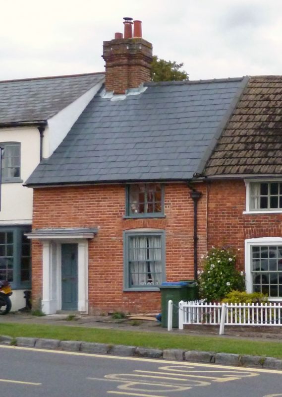
STEYNING HIGH STREET
1. (north-east side)
5404
No 24
TQ 1711 24/89
II GV
2.
C18. Two storeys. One window. Stuccoed. Slate roof. Horizontally-sliding
sash windows on first floor. Double hung sash windows with glazing bars intact
on ground floor. Doorway with pilasters flat hood and six panel door.
Listing NGR: TQ1776711130
External links are from the relevant listing authority and, where applicable, Wikidata. Wikidata IDs may be related buildings as well as this specific building. If you want to add or update a link, you will need to do so by editing the Wikidata entry.


Other nearby listed buildings
