Approximate Location Map
Large Map »
Latitude: 51.0178 / 51°1'3"N
Longitude: -0.4571 / 0°27'25"W
OS Eastings: 508322
OS Northings: 125398
OS Grid: TQ083253
Mapcode National: GBR GHQ.58B
Mapcode Global: FRA 96XF.CRQ
Plus Code: 9C3X2G9V+45
Entry Name: The Cedars
Listing Date: 22 September 1959
Last Amended: 28 November 1980
Grade: II
Source: Historic England
Source ID: 1027108
English Heritage Legacy ID: 299134
ID on this website: 101027108
Location: Parbrook, Horsham, West Sussex, RH14
County: West Sussex
District: Horsham
Civil Parish: Billingshurst
Built-Up Area: Billingshurst
Traditional County: Sussex
Lieutenancy Area (Ceremonial County): West Sussex
Church of England Parish: Billingshurst St Mary
Church of England Diocese: Chichester
Tagged with: Building
BILLINGSHURST STANE STREET
1.
5404
The Cedars
(formerly listed as
The Cedars,
Alicks Hill)
TQ 0825 25/403 22.9.59.
II
2.
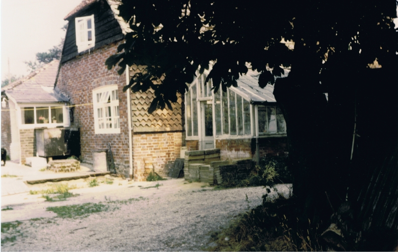
Early C18. Two storeys. Three windows. Red brick. Eaves cornice. Half-hipped
roof of Horsham slabs. Glazing bars intact. C19 porch.
Listing NGR: TQ0832225398
External links are from the relevant listing authority and, where applicable, Wikidata. Wikidata IDs may be related buildings as well as this specific building. If you want to add or update a link, you will need to do so by editing the Wikidata entry.


Other nearby listed buildings
