Approximate Location Map
Large Map »
Latitude: 50.8414 / 50°50'28"N
Longitude: -0.744 / 0°44'38"W
OS Eastings: 488529
OS Northings: 105401
OS Grid: SU885054
Mapcode National: GBR DGT.4QW
Mapcode Global: FRA 96BW.1ZH
Plus Code: 9C2XR7R4+G9
Entry Name: Shopwyke Manor Farmhouse
Listing Date: 30 April 1979
Grade: II
Source: Historic England
Source ID: 1354548
English Heritage Legacy ID: 301033
ID on this website: 101354548
Location: Shopwyke, Chichester, West Sussex, PO20
County: West Sussex
District: Chichester
Civil Parish: Oving
Traditional County: Sussex
Lieutenancy Area (Ceremonial County): West Sussex
Church of England Parish: Whyke St George
Church of England Diocese: Chichester
Tagged with: Farmhouse
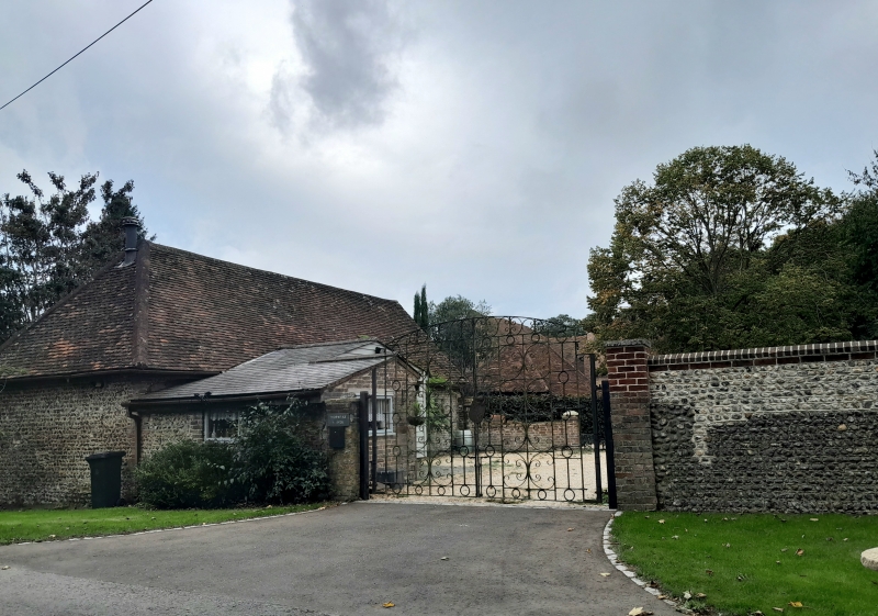
OVING COACH ROAD
SU 80 NE
13/13 Shopwyke Manor Farmhouse
30.4.79
- II
Two storeys. Four windows. Faced with flints and stone rubble with red brick
dressings and quoins. Tiled roof. Casement windows. Brick chimney breast
towards the east end of south front. Gable end to east.
Listing NGR: SU8852905401
External links are from the relevant listing authority and, where applicable, Wikidata. Wikidata IDs may be related buildings as well as this specific building. If you want to add or update a link, you will need to do so by editing the Wikidata entry.


Other nearby listed buildings
