Approximate Location Map
Large Map »
Latitude: 50.8391 / 50°50'20"N
Longitude: -0.7426 / 0°44'33"W
OS Eastings: 488634
OS Northings: 105154
OS Grid: SU886051
Mapcode National: GBR DGT.C2V
Mapcode Global: FRA 96BW.8K6
Plus Code: 9C2XR7Q4+MX
Entry Name: Shopwyke Grange
Listing Date: 5 June 1958
Grade: II
Source: Historic England
Source ID: 1232815
English Heritage Legacy ID: 301044
ID on this website: 101232815
Location: Shopwyke, Chichester, West Sussex, PO20
County: West Sussex
District: Chichester
Civil Parish: Oving
Traditional County: Sussex
Lieutenancy Area (Ceremonial County): West Sussex
Church of England Parish: Whyke St George
Church of England Diocese: Chichester
Tagged with: Building
OVING OVING ROAD
SU 80 NE
13/14 Shopwyke Grange
5.6.58
- II
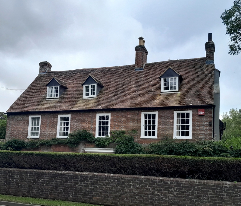
C18. Two storeys and attic. Five windows. Three gabled dormers. Red brick
and grey headers. Tiled roof. Glazing bars intact. Doorway with rectangular
fanlight, door of six moulded and fielded panels, and modern pilasters and hood
added in Georgian style.
Listing NGR: SU8863405154
External links are from the relevant listing authority and, where applicable, Wikidata. Wikidata IDs may be related buildings as well as this specific building. If you want to add or update a link, you will need to do so by editing the Wikidata entry.


Other nearby listed buildings
