Approximate Location Map
Large Map »
Latitude: 52.2778 / 52°16'40"N
Longitude: -1.5924 / 1°35'32"W
OS Eastings: 427906
OS Northings: 264489
OS Grid: SP279644
Mapcode National: GBR 5MB.08M
Mapcode Global: VHBXP.C00M
Plus Code: 9C4W7CH5+42
Entry Name: 75 77, West Street
Listing Date: 19 March 1973
Grade: II
Source: Historic England
Source ID: 1185356
English Heritage Legacy ID: 307686
ID on this website: 101185356
Location: Warwick, Warwickshire, CV34
County: Warwickshire
District: Warwick
Civil Parish: Warwick
Built-Up Area: Warwick
Traditional County: Warwickshire
Lieutenancy Area (Ceremonial County): Warwickshire
Church of England Parish: Warwick St Paul
Church of England Diocese: Coventry
Tagged with: Building
1.
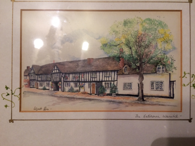
1781 WEST STREET
(South East Side)
Nos 75 & 77
SP 2764 8/261
II GV
2.
(There is no No 79). Circa 1600. 2 storeys, machine tiled roof. Modern
lattice casements. Refaced with modern roughcast, now largely removed to
reveal timber framework.
All the listed buildings on the south east side from Nos 71 to 91 form
a group
Listing NGR: SP2790664489
External links are from the relevant listing authority and, where applicable, Wikidata. Wikidata IDs may be related buildings as well as this specific building. If you want to add or update a link, you will need to do so by editing the Wikidata entry.


Other nearby listed buildings
