Approximate Location Map
Large Map »
Latitude: 52.2814 / 52°16'53"N
Longitude: -1.5901 / 1°35'24"W
OS Eastings: 428058
OS Northings: 264890
OS Grid: SP280648
Mapcode National: GBR 5M4.SY9
Mapcode Global: VHBXH.DX6F
Plus Code: 9C4W7CJ5+HW
Entry Name: 68, Market Place
Listing Date: 5 April 1988
Grade: II
Source: Historic England
Source ID: 1250174
English Heritage Legacy ID: 307717
ID on this website: 101250174
Location: Warwick, Warwickshire, CV34
County: Warwickshire
District: Warwick
Civil Parish: Warwick
Built-Up Area: Warwick
Traditional County: Warwickshire
Lieutenancy Area (Ceremonial County): Warwickshire
Church of England Parish: Warwick St Mary
Church of England Diocese: Coventry
Tagged with: Building
1.
5399 MARKET PLACE
(South Side)
SP 2664 NW 1/551 No 68
II GV
2.
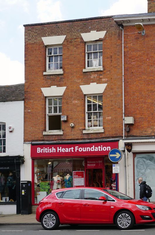
Shop. Early C19. Red brick and parapetted roof. 3 - storey, 2- window range of
12 - and 9 - pane unhorned sashes with painted rendered heads. C20 shopfront.
Wing to rear. Interior not inspected. Included for group value only.
Listing NGR: SP2805864890
External links are from the relevant listing authority and, where applicable, Wikidata. Wikidata IDs may be related buildings as well as this specific building. If you want to add or update a link, you will need to do so by editing the Wikidata entry.


Other nearby listed buildings
