Approximate Location Map
Large Map »
Latitude: 52.5163 / 52°30'58"N
Longitude: -1.6433 / 1°38'35"W
OS Eastings: 424300
OS Northings: 290997
OS Grid: SP243909
Mapcode National: GBR 5JB.CB1
Mapcode Global: VHBWH.G0LT
Plus Code: 9C4WG984+GM
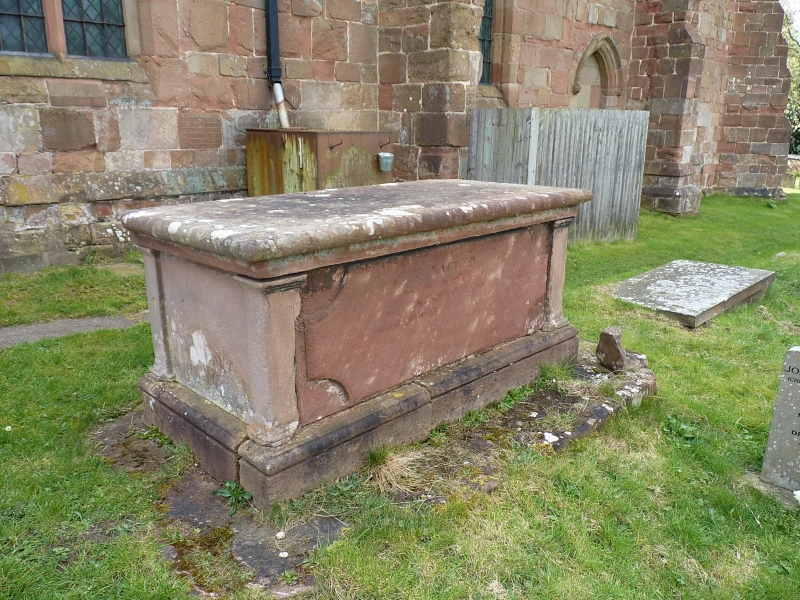
Entry Name: Chest Tomb 3 Metres North of Nave of Church of St Cuthbert
Listing Date: 23 March 1988
Grade: II
Source: Historic England
Source ID: 1034804
English Heritage Legacy ID: 309074
ID on this website: 101034804
Location: St Cuthbert's Church, Church End, North Warwickshire, B46
County: Warwickshire
District: North Warwickshire
Civil Parish: Shustoke
Traditional County: Warwickshire
Lieutenancy Area (Ceremonial County): Warwickshire
Church of England Parish: Whitacres, Lea Marston and Shustoke
Church of England Diocese: Birmingham
Tagged with: Chest tomb
SHUSTOKE CHURCH END
SP2490
14/169 Chest tomb 3m N of nave of
Church of St. Cuthbert
GV II
Chest tomb. Late C18. Sandstone. Moulded cornice and base. Panelled sides and
clasping corner pilasters.
Listing NGR: SP2430090997
External links are from the relevant listing authority and, where applicable, Wikidata. Wikidata IDs may be related buildings as well as this specific building. If you want to add or update a link, you will need to do so by editing the Wikidata entry.


Other nearby listed buildings
