Approximate Location Map
Large Map »
Latitude: 52.5879 / 52°35'16"N
Longitude: -1.5649 / 1°33'53"W
OS Eastings: 429571
OS Northings: 298986
OS Grid: SP295989
Mapcode National: GBR 5HH.M6C
Mapcode Global: WHCHC.X6YX
Plus Code: 9C4WHCQP+52
Entry Name: Lock and Basin South East of Whittington Road Bridge Coventry Canal
Listing Date: 23 May 1988
Grade: II
Source: Historic England
Source ID: 1365191
English Heritage Legacy ID: 309262
ID on this website: 101365191
Location: Whittington, North Warwickshire, CV9
County: Warwickshire
District: North Warwickshire
Civil Parish: Grendon
Traditional County: Warwickshire
Lieutenancy Area (Ceremonial County): Warwickshire
Church of England Parish: Grendon
Church of England Diocese: Birmingham
Tagged with: Lock
GRENDON
SP29NE
9/28 Lock and basin SE of
Whittington Road Bridge,
Coventry Canal
GV ll
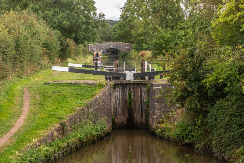
Canal lock and basin, Late C18. Brick with kerbs and quoins to lower end of
large sandstone blacks. Some repairs in C19/C20 brick. Single and double gates.
Listing NGR: SP2957198986
External links are from the relevant listing authority and, where applicable, Wikidata. Wikidata IDs may be related buildings as well as this specific building. If you want to add or update a link, you will need to do so by editing the Wikidata entry.


Other nearby listed buildings
