Approximate Location Map
Large Map »
Latitude: 50.6907 / 50°41'26"N
Longitude: -1.3132 / 1°18'47"W
OS Eastings: 448607
OS Northings: 88121
OS Grid: SZ486881
Mapcode National: GBR 8BH.QS9
Mapcode Global: FRA 8747.VM5
Plus Code: 9C2WMMRP+7P
Entry Name: 31, Castle Street
Listing Date: 1 February 1972
Grade: II
Source: Historic England
Source ID: 1034630
English Heritage Legacy ID: 309471
ID on this website: 101034630
Location: Carisbrooke, Isle of Wight, PO30
County: Isle of Wight
Civil Parish: Newport
Built-Up Area: Newport
Traditional County: Hampshire
Lieutenancy Area (Ceremonial County): Isle of Wight
Church of England Parish: Carisbrooke St Mary the Virgin
Church of England Diocese: Portsmouth
Tagged with: Building Thatched cottage
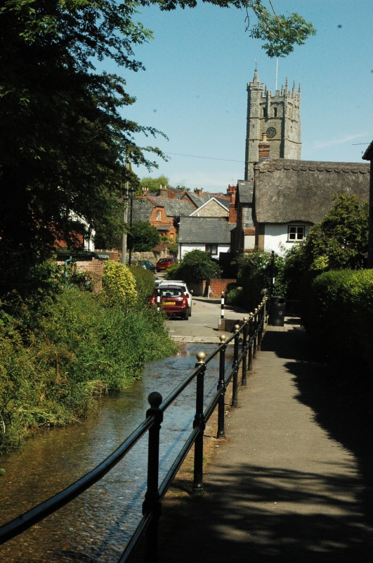
1. CASTLE STREET
1445 CARISBROOKE
No 31
SZ 4888 10/175
II
2.
Early C19 cottage 2 storeys painted brick. Thatched roof with 2 eyebrows.
2 windows, casements with flush wood frames, thin block sills. Modern
central door retains moulded architrave. Rustic wood porch with thatched
roof.
Listing NGR: SZ4860788121
External links are from the relevant listing authority and, where applicable, Wikidata. Wikidata IDs may be related buildings as well as this specific building. If you want to add or update a link, you will need to do so by editing the Wikidata entry.


Other nearby listed buildings
