Approximate Location Map
Large Map »
Latitude: 50.6993 / 50°41'57"N
Longitude: -1.2936 / 1°17'37"W
OS Eastings: 449983
OS Northings: 89085
OS Grid: SZ499890
Mapcode National: GBR 8BJ.3RG
Mapcode Global: FRA 8757.9TV
Plus Code: 9C2WMPX4+PH
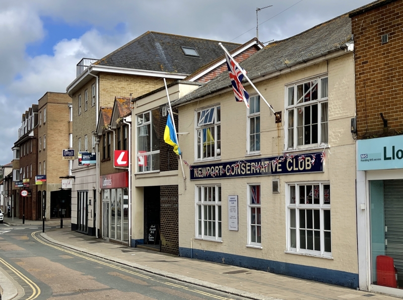
Entry Name: Conservative and Unionist Club
Listing Date: 1 February 1972
Grade: II
Source: Historic England
Source ID: 1276897
English Heritage Legacy ID: 309647
ID on this website: 101276897
Location: Newport, Isle of Wight, PO30
County: Isle of Wight
Civil Parish: Newport
Built-Up Area: Newport
Traditional County: Hampshire
Lieutenancy Area (Ceremonial County): Isle of Wight
Church of England Parish: Newport St Thomas
Church of England Diocese: Portsmouth
Tagged with: Clubhouse
PYLE STREET
1.
1445
(South Side)
No 40
(Conservative and
SZ 4989 SE 2/57C Unionist Club)
II
2.
Early C19 2 storeys painted brick. Gable end slate roof, wood eaves
cornice. 2 windows, tripartite, sash, glazing bars. Moulded flush wood
frames, flat brick arches. Circular window with keystone. Doorcase
of Doric pilasters and projecting cornice.
Listing NGR: SZ4998389085
External links are from the relevant listing authority and, where applicable, Wikidata. Wikidata IDs may be related buildings as well as this specific building. If you want to add or update a link, you will need to do so by editing the Wikidata entry.


Other nearby listed buildings
