Approximate Location Map
Large Map »
Latitude: 51.422 / 51°25'19"N
Longitude: -1.7285 / 1°43'42"W
OS Eastings: 418972
OS Northings: 169255
OS Grid: SU189692
Mapcode National: GBR 4X2.V3Y
Mapcode Global: VHC1P.0J18
Plus Code: 9C3WC7CC+QH
Entry Name: 25-28, the Green
Listing Date: 21 October 1974
Grade: II
Source: Historic England
Source ID: 1034237
English Heritage Legacy ID: 310304
ID on this website: 101034237
Location: Marlborough, Wiltshire, SN8
County: Wiltshire
Civil Parish: Marlborough
Built-Up Area: Marlborough
Traditional County: Wiltshire
Lieutenancy Area (Ceremonial County): Wiltshire
Tagged with: Building
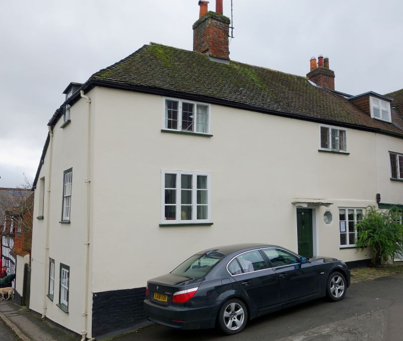
THE GREEN
5407
(West Side)
Nos 25 to 28 (consec)
SU 1869 1/80
II GV
2.
Cl6-17. 2 storey. Timber frame plastered. Old tile roof hipped at left hand
and with half-hipped gable, tile hung, to No 28. Irregular 3-light lead casements
on lst floor, 4 plain doors and 3-sash shop windows on ground floor. West front
of No 28 has tile-hung 1st floor.
Nos 19 to 32 (consec) form a group.
Listing NGR: SU1896769255
External links are from the relevant listing authority and, where applicable, Wikidata. Wikidata IDs may be related buildings as well as this specific building. If you want to add or update a link, you will need to do so by editing the Wikidata entry.


Other nearby listed buildings
