Approximate Location Map
Large Map »
Latitude: 51.4189 / 51°25'7"N
Longitude: -1.7336 / 1°44'0"W
OS Eastings: 418621
OS Northings: 168905
OS Grid: SU186689
Mapcode National: GBR 4X2.SNK
Mapcode Global: VHB46.WLWN
Plus Code: 9C3WC798+GH
Entry Name: 93-98, High Street
Listing Date: 21 October 1974
Grade: II
Source: Historic England
Source ID: 1259784
English Heritage Legacy ID: 310363
ID on this website: 101259784
Location: Marlborough, Wiltshire, SN8
County: Wiltshire
Civil Parish: Marlborough
Built-Up Area: Marlborough
Traditional County: Wiltshire
Lieutenancy Area (Ceremonial County): Wiltshire
Tagged with: Building
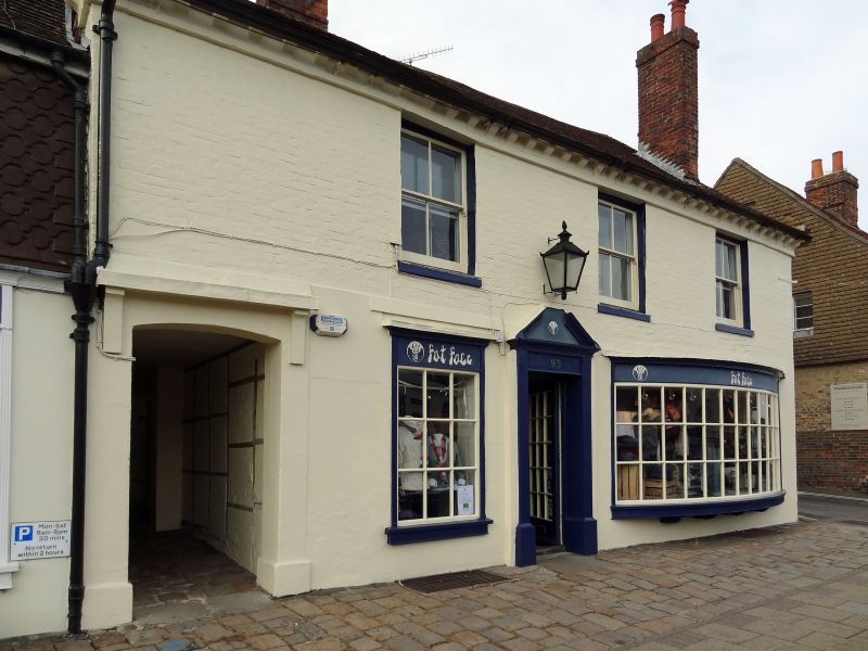
200026 HIGH STREET
1.
5407
(North Side)
Nos 93 to 98 (consec)
SU 1868 2/26
II
2.
Two blocks of houses. Cl8. 2 storey. Brick, old tile roofs. No 95, painted
brick with brick dentil cornice and 3 windows, no glazing bars, door to left
hand of centre in lattice porch. Some doors and windows altered. Picturesque
group of slightly larger buildings than those of Map No 25 et alii.
Listing NGR: SU1860668899
External links are from the relevant listing authority and, where applicable, Wikidata. Wikidata IDs may be related buildings as well as this specific building. If you want to add or update a link, you will need to do so by editing the Wikidata entry.


Other nearby listed buildings
