Approximate Location Map
Large Map »
Latitude: 51.4217 / 51°25'18"N
Longitude: -1.7297 / 1°43'46"W
OS Eastings: 418890
OS Northings: 169222
OS Grid: SU188692
Mapcode National: GBR 4X2.TRD
Mapcode Global: VHB46.YJYH
Plus Code: 9C3WC7CC+M4
Entry Name: 45-48A, Kingsbury Street
Listing Date: 21 October 1974
Grade: II
Source: Historic England
Source ID: 1034202
English Heritage Legacy ID: 310418
ID on this website: 101034202
Location: Marlborough, Wiltshire, SN8
County: Wiltshire
Civil Parish: Marlborough
Built-Up Area: Marlborough
Traditional County: Wiltshire
Lieutenancy Area (Ceremonial County): Wiltshire
Tagged with: Building
KINGSBURY STREET
1.
5407
(East Side)
Nos 45 to 48A (consec)
SU 1869 1/59
II GV
2.
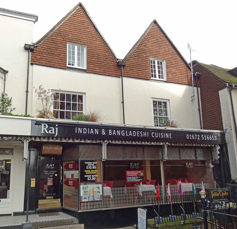
Cl7 and C18 altered. 3 storey. Some stuccoed and painted, some tile hung painted.
Some with gable ends to street. All with old tile roofs. C18 or early Cl9 windows
to upper parts and modern shop front on ground floor.
Nos 40 to 48A (consec) form a group with Nos 1, 2, 4, to 11 (consec) opposite,
and with Nos 1, 17 and 18 Silverless Street.
Listing NGR: SU1890369213
External links are from the relevant listing authority and, where applicable, Wikidata. Wikidata IDs may be related buildings as well as this specific building. If you want to add or update a link, you will need to do so by editing the Wikidata entry.


Other nearby listed buildings
