Approximate Location Map
Large Map »
Latitude: 51.5942 / 51°35'38"N
Longitude: -1.8665 / 1°51'59"W
OS Eastings: 409343
OS Northings: 188375
OS Grid: SU093883
Mapcode National: GBR 3SM.2XJ
Mapcode Global: VHB3C.L6M8
Plus Code: 9C3WH4VM+M9
Entry Name: Widham Grove
Listing Date: 17 April 1986
Grade: II
Source: Historic England
Source ID: 1198503
English Heritage Legacy ID: 317992
ID on this website: 101198503
Location: Widham, Wiltshire, SN5
County: Wiltshire
Civil Parish: Purton
Built-Up Area: Purton
Traditional County: Wiltshire
Lieutenancy Area (Ceremonial County): Wiltshire
Church of England Parish: Purton
Church of England Diocese: Bristol
Tagged with: Architectural structure
SU 08 NE
8/347
PURTON
WIDHAM
Widham Grove
II
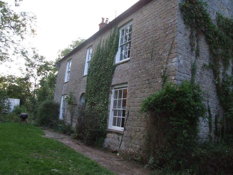
House, mid C19. Limestone squared rubble. Slate roof. 2 storeys and attic,
3 bays. Symmetrical plan. Central 6-panelled door with decorative fanlight
within round headed reveal. 12-pane sashes, but 8-pane over door, all with
flat stone voussoir arches. Roof sprocketed, with gable brick stacks.
Listing NGR: SU0934388375
External links are from the relevant listing authority and, where applicable, Wikidata. Wikidata IDs may be related buildings as well as this specific building. If you want to add or update a link, you will need to do so by editing the Wikidata entry.


Other nearby listed buildings
