Approximate Location Map
Large Map »
Latitude: 51.5221 / 51°31'19"N
Longitude: -1.7888 / 1°47'19"W
OS Eastings: 414750
OS Northings: 180371
OS Grid: SU147803
Mapcode National: GBR 4VT.JL9
Mapcode Global: VHB3S.Y06H
Plus Code: 9C3WG6C6+RF
Entry Name: Warleigh
Listing Date: 20 September 1979
Grade: II
Source: Historic England
Source ID: 1023450
English Heritage Legacy ID: 318643
ID on this website: 101023450
Location: Swindon, Wiltshire, SN4
County: Swindon
Civil Parish: Wroughton
Built-Up Area: Wroughton
Traditional County: Wiltshire
Lieutenancy Area (Ceremonial County): Wiltshire
Church of England Parish: Wroughton
Church of England Diocese: Bristol
Tagged with: Building
1.
5410 WROUGHTON THE PITCENS
Warleigh
SU 1480 23/563
II
2.
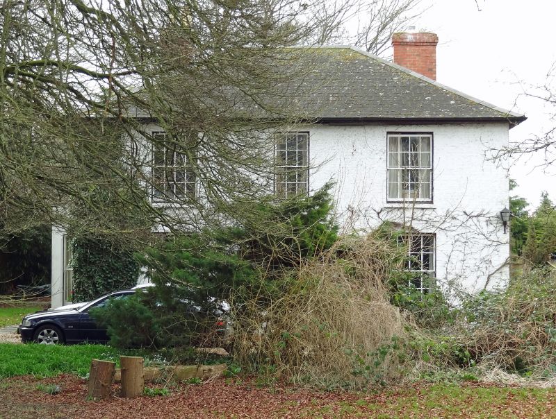
Early-mid C19. Two storeys painted brick with brick quoins and dressings.
Three windows, glazing bar sashes, large square bay on ground floor to left.
Modern central recessed entrance. Three windows to east hipped slate roof.
Listing NGR: SU1475080371
External links are from the relevant listing authority and, where applicable, Wikidata. Wikidata IDs may be related buildings as well as this specific building. If you want to add or update a link, you will need to do so by editing the Wikidata entry.


Other nearby listed buildings
