Approximate Location Map
Large Map »
Latitude: 51.0667 / 51°4'0"N
Longitude: -1.7977 / 1°47'51"W
OS Eastings: 414268
OS Northings: 129725
OS Grid: SU142297
Mapcode National: GBR 51F.2B5
Mapcode Global: FRA 7639.KFN
Plus Code: 9C3W3682+MW
Entry Name: Forecourt Walls, Gate Piers and Gates of Nos 39 to 46
Listing Date: 12 October 1972
Grade: I
Source: Historic England
Source ID: 1253963
English Heritage Legacy ID: 319021
ID on this website: 101253963
Location: The Friary, Wiltshire, SP1
County: Wiltshire
Civil Parish: Salisbury
Built-Up Area: Salisbury
Traditional County: Wiltshire
Lieutenancy Area (Ceremonial County): Wiltshire
Tagged with: Wall
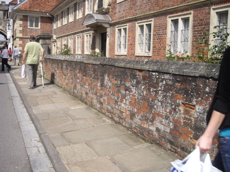
THE CLOSE
1.
1594
Fourecourt Walls, gate
piers & gates of Nos 39 to 46
(consec)
SU 1429 NW 3/26A
1 GV
2.
Dwarf walls between wings enclosing small garden court, with square chamfered
stone piers with moulded caps. Small iron gates at centre and corners, the
central gates with inverted top and fleur-de-lys cresting.
All the listed buildings in the Close form an outstanding group.
Listing NGR: SU1426829727
External links are from the relevant listing authority and, where applicable, Wikidata. Wikidata IDs may be related buildings as well as this specific building. If you want to add or update a link, you will need to do so by editing the Wikidata entry.


Other nearby listed buildings
