Approximate Location Map
Large Map »
Latitude: 54.377 / 54°22'37"N
Longitude: -2.1603 / 2°9'36"W
OS Eastings: 389687
OS Northings: 497958
OS Grid: SD896979
Mapcode National: GBR FKCT.3Q
Mapcode Global: WHB57.S7HV
Plus Code: 9C6V9RGQ+RV
Entry Name: Scar House Bridge
Listing Date: 5 September 1986
Grade: II
Source: Historic England
Source ID: 1131558
English Heritage Legacy ID: 322204
ID on this website: 101131558
Location: Thwaite, North Yorkshire, DL11
County: North Yorkshire
District: Richmondshire
Civil Parish: Muker
Traditional County: Yorkshire
Lieutenancy Area (Ceremonial County): North Yorkshire
Tagged with: Bridge Road bridge
NORTH YORKSHIRE
RICHMONDSHIRE
5339
SD 89 NE MUKER B6270, Scar Houses
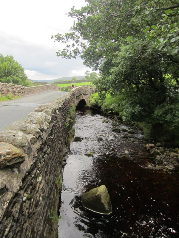
13/119 Scar House Bridge
- II
Bridge. Early C19. Rubble. Segmental arch of large rubble voussoirs with
triangular dripmould. Parapet with ashlar coping, secured with iron cramps.
Listing NGR: SD8968797958
External links are from the relevant listing authority and, where applicable, Wikidata. Wikidata IDs may be related buildings as well as this specific building. If you want to add or update a link, you will need to do so by editing the Wikidata entry.


Other nearby listed buildings
