Approximate Location Map
Large Map »
Latitude: 53.955 / 53°57'18"N
Longitude: -2.166 / 2°9'57"W
OS Eastings: 389206
OS Northings: 451005
OS Grid: SD892510
Mapcode National: GBR FQ9P.WZ
Mapcode Global: WHB75.PVSC
Plus Code: 9C5VXR4M+2J
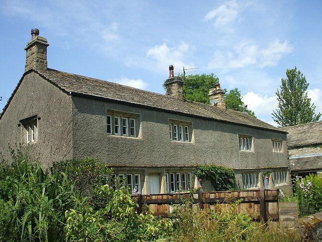
Entry Name: Mire House Barn
Listing Date: 31 October 1988
Grade: II
Source: Historic England
Source ID: 1316751
English Heritage Legacy ID: 324493
ID on this website: 101316751
Location: West Marton, North Yorkshire, BD23
County: North Yorkshire
District: Craven
Civil Parish: Martons Both
Traditional County: Yorkshire
Lieutenancy Area (Ceremonial County): North Yorkshire
Tagged with: Barn
SD 85 SE MARTONS BOTH GLEDSTONE ROAD
(east side)
1/114 Mire House Barn
GV II
Barn, probably C18. Rubble with stone slate roof. Low segmental-arched cart
entry. Roof of cut timber forming four triple-strut trusses. Included for group
value.
Listing NGR: SD8920651005
External links are from the relevant listing authority and, where applicable, Wikidata. Wikidata IDs may be related buildings as well as this specific building. If you want to add or update a link, you will need to do so by editing the Wikidata entry.


Other nearby listed buildings
