Approximate Location Map
Large Map »
Latitude: 54.146 / 54°8'45"N
Longitude: -2.0451 / 2°2'42"W
OS Eastings: 397148
OS Northings: 472246
OS Grid: SD971722
Mapcode National: GBR GN5H.1J
Mapcode Global: WHB6G.K1BX
Plus Code: 9C6V4XW3+CW
Entry Name: Grave Slab 1 Metre South of Chancel of Church of St Mary
Listing Date: 4 May 1989
Grade: II
Source: Historic England
Source ID: 1132193
English Heritage Legacy ID: 324683
ID on this website: 101132193
Location: St Mary's Church, Kettlewell, North Yorkshire, BD23
County: North Yorkshire
District: Craven
Civil Parish: Kettlewell with Starbotton
Traditional County: Yorkshire
Lieutenancy Area (Ceremonial County): North Yorkshire
Tagged with: Grave slab
SD 9672-9772
21/97
KETTLEWELL WITH STARBOTTON
THE GREEN
(south side, off)
Kettlewell
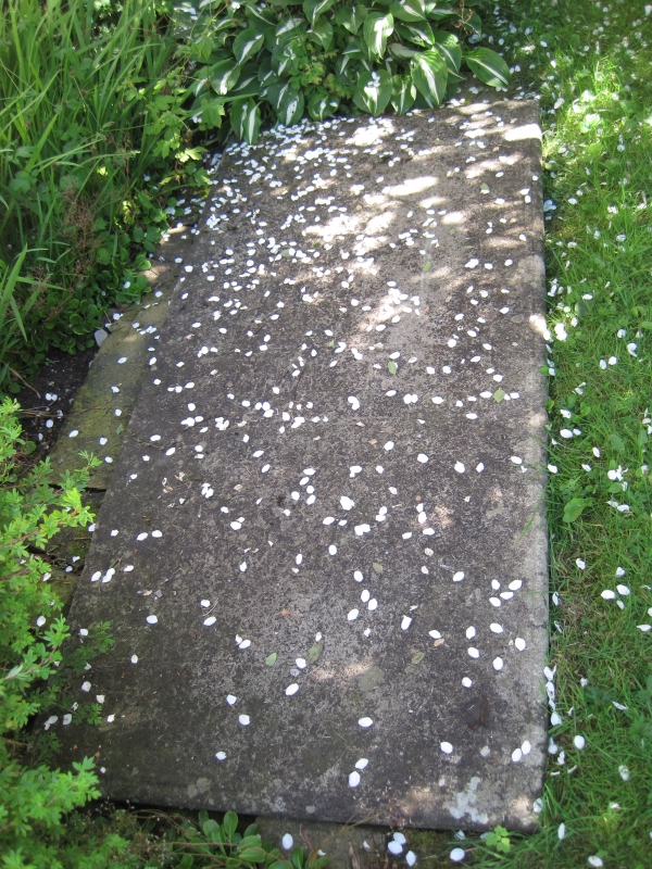
Grave slab 1 metre south of chancel of Church of St. Mary
GV
II
Grave slab. Dated 1695. Gritstone. A single slab now set into the ground
but possibly formerly in the church. The inscription is heavily weathered
and consists of 3 sections: the top 11 lines worn down on the right side,
but well incised on the left: " HERE LIETH THE BODY OF/ ?M_ ME ... THE WIFE
/OF.M. . . /CHUR...TO/CROSFEL?RELICT OF/ & TO.H...WYYIL...ID/DAUGH.TO
MARM.../OF ?BUKTON CONST K/ ART. WHOE DIED 17.../ WAS BURIED .20 OF
JUNE/1695 AN AET 49". The central panel, composed of incised lines with
scroll at the corners, comprised 3 lines only partly legible at resurvey:
"FROM...IT WAS/DEC?IDED A IVBILEE/SH?OULD THEN SUCCED" The lower part of
the slab has a recessed shield upon which is inscribed a pattern of linked
squares and 4 lines: "?OSWI/MORI/ERGO DOMUM/MARSTUS" Below are the letters
"H ? I I". The slab has a fillet and roll moulding to the edge.
Listing NGR: SD9714872246
External links are from the relevant listing authority and, where applicable, Wikidata. Wikidata IDs may be related buildings as well as this specific building. If you want to add or update a link, you will need to do so by editing the Wikidata entry.


Other nearby listed buildings
