Approximate Location Map
Large Map »
Latitude: 53.785 / 53°47'5"N
Longitude: -1.0658 / 1°3'56"W
OS Eastings: 461648
OS Northings: 432479
OS Grid: SE616324
Mapcode National: GBR PS0N.1X
Mapcode Global: WHFD2.L4P5
Plus Code: 9C5WQWMM+XM
Entry Name: 34 and 36, Ousegate
Listing Date: 14 November 1980
Grade: II
Source: Historic England
Source ID: 1167535
English Heritage Legacy ID: 325815
ID on this website: 101167535
Location: Selby, North Yorkshire, YO8
County: North Yorkshire
District: Selby
Civil Parish: Selby
Built-Up Area: Selby
Traditional County: Yorkshire
Lieutenancy Area (Ceremonial County): North Yorkshire
Church of England Parish: Selby St Mary and St Germain
Church of England Diocese: York
Tagged with: Building
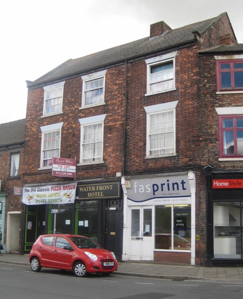
1. OUSEGATE
5342 --------
Nos 34 and 36
SE 6132 SE 5/123
II GV
2.
Mid C19. Red brick. Pitched slate roof. Coped gables on kneelers. Three
storeys. Paired brackets to eaves. Three bays. Flush-framed sashes with
glazing bars. Modern shop-fronts.
Listing NGR: SE6164832478
External links are from the relevant listing authority and, where applicable, Wikidata. Wikidata IDs may be related buildings as well as this specific building. If you want to add or update a link, you will need to do so by editing the Wikidata entry.


Other nearby listed buildings
