Approximate Location Map
Large Map »
Latitude: 53.7844 / 53°47'3"N
Longitude: -1.0647 / 1°3'53"W
OS Eastings: 461720
OS Northings: 432415
OS Grid: SE617324
Mapcode National: GBR PS0P.84
Mapcode Global: WHFD2.M46M
Plus Code: 9C5WQWMP+Q4
Entry Name: 64, Ousegate
Listing Date: 14 November 1980
Grade: II
Source: Historic England
Source ID: 1316667
English Heritage Legacy ID: 325820
ID on this website: 101316667
Location: Selby, North Yorkshire, YO8
County: North Yorkshire
District: Selby
Civil Parish: Selby
Built-Up Area: Selby
Traditional County: Yorkshire
Lieutenancy Area (Ceremonial County): North Yorkshire
Church of England Parish: Selby St Mary and St Germain
Church of England Diocese: York
Tagged with: Building
OUSEGATE
1. --------
5342 No 64
SE 6132 SE 5/127
II GV
2.
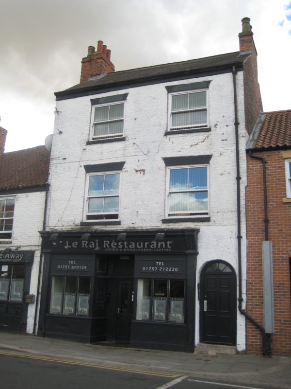
Mid C19. Brown brick. Pitched slate roof. Three storeys. Two bays: flush-
framed sashes. Late C19 shop-front. Round-arched passage entrance to right-
hand.
Listing NGR: SE6172032415
External links are from the relevant listing authority and, where applicable, Wikidata. Wikidata IDs may be related buildings as well as this specific building. If you want to add or update a link, you will need to do so by editing the Wikidata entry.


Other nearby listed buildings
