Approximate Location Map
Large Map »
Latitude: 54.488 / 54°29'16"N
Longitude: -0.6147 / 0°36'53"W
OS Eastings: 489834
OS Northings: 511183
OS Grid: NZ898111
Mapcode National: GBR SJ4J.PY
Mapcode Global: WHG9Y.JGH7
Plus Code: 9C6XF9QP+64
Entry Name: The Ship Public House
Listing Date: 4 December 1972
Grade: II
Source: Historic England
Source ID: 1148215
English Heritage Legacy ID: 326817
Also known as: The Ship, Whitby
Ship
ID on this website: 101148215
Location: Whitby, North Yorkshire, YO21
County: North Yorkshire
District: Scarborough
Civil Parish: Whitby
Built-Up Area: Whitby
Traditional County: Yorkshire
Lieutenancy Area (Ceremonial County): North Yorkshire
Church of England Parish: Whitby St Mary
Church of England Diocese: York
Tagged with: Pub
1.
1811 HAGGERSGATE
(East Side)
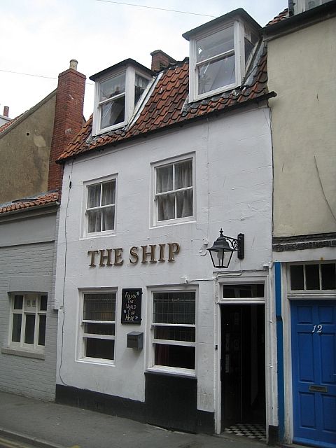
The Ship Public House
NV 8911 1/378
II GV
2.
Early C19. 2 storeys and attics. 2 modern dormers in pantile roof of
mansard pitch. Repaired brick. 2 modern windows and modern door with rectangular
fanlight. Rendered.
All the listed buildings in Haggersgate (East Side) form a group.
Listing NGR: NZ8983411183
External links are from the relevant listing authority and, where applicable, Wikidata. Wikidata IDs may be related buildings as well as this specific building. If you want to add or update a link, you will need to do so by editing the Wikidata entry.


Other nearby listed buildings
