Approximate Location Map
Large Map »
Latitude: 54.1849 / 54°11'5"N
Longitude: -0.3439 / 0°20'37"W
OS Eastings: 508172
OS Northings: 477831
OS Grid: TA081778
Mapcode National: GBR VN11.BL
Mapcode Global: WHGCM.P2GN
Plus Code: 9C6X5MM4+WF
Entry Name: Milestone
Listing Date: 23 August 1985
Grade: II
Source: Historic England
Source ID: 1148167
English Heritage Legacy ID: 327005
ID on this website: 101148167
Location: North Yorkshire, YO14
County: North Yorkshire
District: Scarborough
Civil Parish: Muston
Traditional County: Yorkshire
Lieutenancy Area (Ceremonial County): North Yorkshire
Church of England Parish: Hunmanby All Saints
Church of England Diocese: York
Tagged with: Milestone
NORTH YORKSHIRE
SCARBOROUGH BOROUGH COUNCIL
5341
TA 07 NE MUSTON FOLKTON TO HUNMANBY ROAD
TA 082778 (north-east side)
5/68 Milestone
II
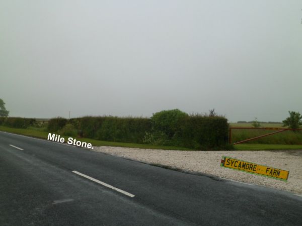
Milestone. Medieval. Limestone, roughly shaped with semi-circular head,
approximately 1½ metres high. Victoria County History: East Riding of
Yorkshire, Vol 11, 1974; p. 278.
Listing NGR: TA0817777834
External links are from the relevant listing authority and, where applicable, Wikidata. Wikidata IDs may be related buildings as well as this specific building. If you want to add or update a link, you will need to do so by editing the Wikidata entry.


Other nearby listed buildings
