Approximate Location Map
Large Map »
Latitude: 54.5583 / 54°33'29"N
Longitude: -0.7906 / 0°47'26"W
OS Eastings: 478311
OS Northings: 518792
OS Grid: NZ783187
Mapcode National: GBR QHXQ.NR
Mapcode Global: WHF8B.TPQD
Plus Code: 9C6XH655+8Q
Entry Name: The Cottage
Listing Date: 26 March 1973
Grade: II
Source: Historic England
Source ID: 1148946
English Heritage Legacy ID: 327165
ID on this website: 101148946
Location: Staithes, North Yorkshire, TS13
County: North Yorkshire
District: Scarborough
Civil Parish: Hinderwell
Built-Up Area: Staithes
Traditional County: Yorkshire
Lieutenancy Area (Ceremonial County): North Yorkshire
Church of England Parish: Hinderwell with Roxby and Staithes
Church of England Diocese: York
Tagged with: Cottage
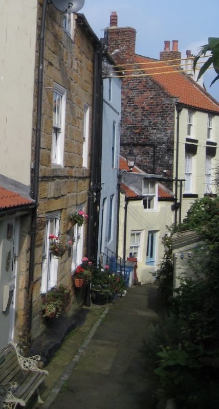
NZ 7818 NW HINDERWELL GUN GUTTER
(west side) Staithes
8/90
No 6(The Cottage)
26.3.73
- II
Cottage, C18. Rendered stone, pantiled roof. One storey and attic, upper window
breaking eaves. Ground floor one sash window without bars, glazed door and a
small sash to right.
Listing NGR: NZ7831118792
External links are from the relevant listing authority and, where applicable, Wikidata. Wikidata IDs may be related buildings as well as this specific building. If you want to add or update a link, you will need to do so by editing the Wikidata entry.


Other nearby listed buildings
