Approximate Location Map
Large Map »
Latitude: 54.3967 / 54°23'48"N
Longitude: -0.9595 / 0°57'34"W
OS Eastings: 467650
OS Northings: 500633
OS Grid: NZ676006
Mapcode National: GBR PKRL.2P
Mapcode Global: WHF91.7RB9
Plus Code: 9C6X92WR+M5
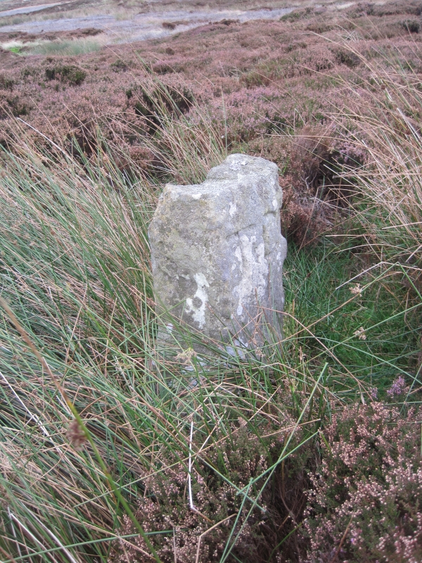
Entry Name: Boundary Stone
Listing Date: 24 June 1987
Grade: II
Source: Historic England
Source ID: 1316009
English Heritage Legacy ID: 328871
ID on this website: 101316009
Location: North Yorkshire, YO62
County: North Yorkshire
District: Ryedale
Civil Parish: Farndale East
Traditional County: Yorkshire
Lieutenancy Area (Ceremonial County): North Yorkshire
Church of England Parish: Kirkbymoorside All Saints
Church of England Diocese: York
Tagged with: Boundary marker
NORTH YORKSHIRE
RYEDALE
5340
SE 678998 FARNDALE EAST BLAKEY RIDGE
(west side)
2/37 Boundary Stone
- II
Boundary stone. Probably early C18. Sandstone. Tapering monolith
approximately 2 metres high. The west face is inscribed "T D", for Thomas
Duncombe, former Lord of the Manor of Helmsley.
Listing NGR: NZ6770600468
External links are from the relevant listing authority and, where applicable, Wikidata. Wikidata IDs may be related buildings as well as this specific building. If you want to add or update a link, you will need to do so by editing the Wikidata entry.


Other nearby listed buildings
