Approximate Location Map
Large Map »
Latitude: 53.9996 / 53°59'58"N
Longitude: -1.4508 / 1°27'2"W
OS Eastings: 436100
OS Northings: 456087
OS Grid: SE361560
Mapcode National: GBR LQ96.Q0
Mapcode Global: WHD9L.PQCQ
Plus Code: 9C5WXGXX+RM
Entry Name: Saint Roberts Cave, Also Called Saint Roberts Chapel, Approximately 120 Metres South West of Grimbald Bridge
Listing Date: 5 February 1952
Last Amended: 12 December 1985
Grade: II*
Source: Historic England
Source ID: 1149914
English Heritage Legacy ID: 330698
Also known as: St Robert's Cave medieval hermitage, 90m north of Plumpton Mill Farm
ID on this website: 101149914
Location: North Yorkshire, HG5
County: North Yorkshire
District: Harrogate
Civil Parish: Knaresborough
Built-Up Area: Knaresborough
Traditional County: Yorkshire
Lieutenancy Area (Ceremonial County): North Yorkshire
Church of England Parish: Knaresborough
Church of England Diocese: Leeds
Tagged with: Cave Hermitage Architectural structure
SE 35 NE KNARESBOROUGH ABBEY ROAD
(east side)
3/35 Saint Robert's Cave, also
called Saint Robert's
5.2.52 Chapel, approximately 120
metres south west of Grimbald
Bridge (formerly listed as
St Robert's Cave or Chapel)
- II*
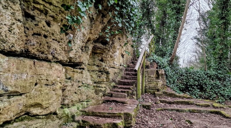
Cave and foundations of adjoining chapel or outbuildings. Associated with
Saint Robert the hermit, 1160-1218, but no datable features. Foundations of
rectangular building containing grave recess, rock-cut bench and steps.
Entrance to cave between bench (left) and steps (right). The cave is
entered down two steps and contains an outer and inner chamber. The walls
and roof are covered by niches and inscriptions. At time of resurvey the
cave contained 30 centimetres of water and the building foundations were
overgrown. The cave is associated with the legendary hermit, Robert Flower,
but it was known previously as Saint Giles' Chapel. Robert's brother,
Walter, was Mayor of York and he sent craftsmen to build a chapel of hewn
stone in honour of the Holy Cross, with a house where Robert might receive
pilgrims and the poor. This site is thought to be of that period (Jennings, p 103)
The cave became a popular tourist attraction after the discovery in 1746
of the body of Daniel Clark, for whose murder Eugene Aram was hanged in
1759. The event was used by Lord Lytton for a novel published in 3 volumes,
1832. Abbot Cummins, "Knaresborough Cave Chapels", Yorks Arch J,XXVIII,
(1926) pp 80-88.
B Jennings (Ed), Harrogate and Knaresborough, 1970, pp 98 and 381.
H Speight, Nidderdale, 1906, pp 249-51.
Listing NGR: SE3610056087
External links are from the relevant listing authority and, where applicable, Wikidata. Wikidata IDs may be related buildings as well as this specific building. If you want to add or update a link, you will need to do so by editing the Wikidata entry.


Other nearby listed buildings
