Approximate Location Map
Large Map »
Latitude: 51.2845 / 51°17'4"N
Longitude: 0.1521 / 0°9'7"E
OS Eastings: 550180
OS Northings: 156133
OS Grid: TQ501561
Mapcode National: GBR S9.T74
Mapcode Global: VHHPK.LZ84
Plus Code: 9F3275M2+RR
Entry Name: Chipstead Chapel
Listing Date: 23 February 1994
Grade: II
Source: Historic England
Source ID: 1244282
English Heritage Legacy ID: 449211
ID on this website: 101244282
Location: Chipstead, Sevenoaks, Kent, TN13
County: Kent
District: Sevenoaks
Civil Parish: Chevening
Built-Up Area: Sevenoaks
Traditional County: Kent
Lieutenancy Area (Ceremonial County): Kent
Church of England Parish: Chevening St Botolph
Church of England Diocese: Rochester
Tagged with: Chapel
The following building shall be added to the list:-
TQ 5056 SW
3/10008
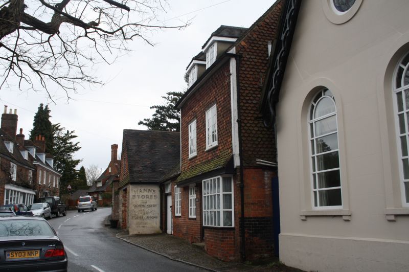
CHEVENING
HIGH STREET, Chipstead
(south side)
Chipstead Chapel
GV
II
Former Non-Conformist chapel, latterly used for storage. Early C17 or earlier timber-framed
building of which the roof and rear wall survive, embedded in mid C19 chapel. Three sides are
rendered with incised lines to imitate masonry, the rear elevation is timber-framed with plaster
infill on brick plinth. Steeply-pitched roof with courses of plain and pointed tiles and fretted
wooden bargeboards. Front elevation has 2 round-headed windows with moulded architraves
and marginal glazing. Central doorcase with cornice and paired end brackets. End elevation has
2 blocked round-headed windows and roundel to gable with cross in quatrefoil. Internally, 3
walls have no timber-framing visible but the roof structure is reported to be oak of queen post
or strut construction with heavy projecting rafters laid flat and of a large section.
Listing NGR: TQ5018056133
External links are from the relevant listing authority and, where applicable, Wikidata. Wikidata IDs may be related buildings as well as this specific building. If you want to add or update a link, you will need to do so by editing the Wikidata entry.


Other nearby listed buildings
