Approximate Location Map
Large Map »
Latitude: 51.2538 / 51°15'13"N
Longitude: -0.9394 / 0°56'21"W
OS Eastings: 474114
OS Northings: 151052
OS Grid: SU741510
Mapcode National: GBR C86.9BM
Mapcode Global: VHDXS.NRR5
Plus Code: 9C3X7336+G7
Entry Name: 1, King Street
Listing Date: 26 June 1987
Grade: II
Source: Historic England
Source ID: 1272377
English Heritage Legacy ID: 449405
ID on this website: 101272377
Location: Odiham, Hart, Hampshire, RG29
County: Hampshire
District: Hart
Civil Parish: Odiham
Built-Up Area: Odiham
Traditional County: Hampshire
Lieutenancy Area (Ceremonial County): Hampshire
Church of England Parish: Odiham All Saints
Church of England Diocese: Winchester
Tagged with: Building
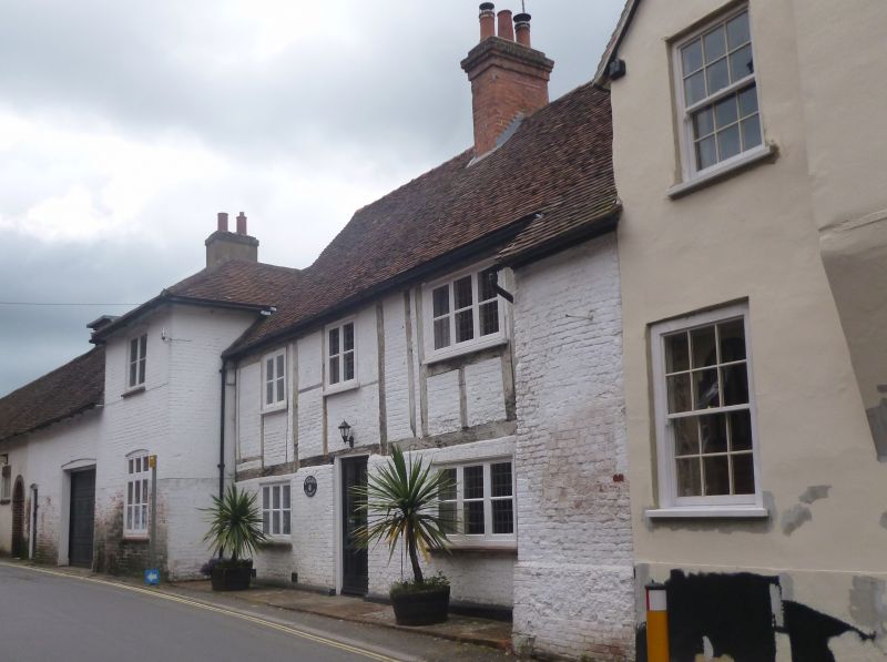
SU 73-7450 & 73-7451 ODIHAM KING STREET
(West Side)
17/109 No 1
-
GV II
C18. storeys, 1.3 windows. Red tile roof, hipped above forward extension
at south side. Rough-cast walling, also painted brickwork. Casements. Plain
doorway.
Listing NGR: SU7411251055
External links are from the relevant listing authority and, where applicable, Wikidata. Wikidata IDs may be related buildings as well as this specific building. If you want to add or update a link, you will need to do so by editing the Wikidata entry.


Other nearby listed buildings
