Approximate Location Map
Large Map »
Latitude: 51.6342 / 51°38'3"N
Longitude: -1.7114 / 1°42'41"W
OS Eastings: 420070
OS Northings: 192862
OS Grid: SU200928
Mapcode National: GBR 4TL.D4Z
Mapcode Global: VHC0Q.9631
Plus Code: 9C3WJ7MQ+MC
Entry Name: Wall to Garden of Westrop Farmhouse
Listing Date: 20 September 1979
Grade: II
Source: Historic England
Source ID: 1023390
English Heritage Legacy ID: 318488
ID on this website: 101023390
Location: Westrop, Swindon, Wiltshire, SN6
County: Swindon
Civil Parish: Highworth
Built-Up Area: Highworth
Traditional County: Wiltshire
Lieutenancy Area (Ceremonial County): Wiltshire
Church of England Parish: Highworth with Sevenhampton and Inglesham
Church of England Diocese: Bristol
Tagged with: Wall
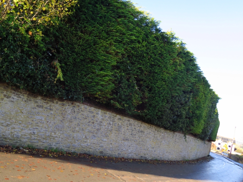
1.
5410 HIGHWORTH WESTROP
Wall to garden of
Westrop Farmhouse
SU 2092 20/361
II
2.
Probably early-mid C19. Six-seven foot high. Random rubble with brick capping.
About 90 yds long, a feature of Westrop.
Listing NGR: SU2007092862
External links are from the relevant listing authority and, where applicable, Wikidata. Wikidata IDs may be related buildings as well as this specific building. If you want to add or update a link, you will need to do so by editing the Wikidata entry.


Other nearby listed buildings
