Approximate Location Map
Large Map »
Latitude: 52.6348 / 52°38'5"N
Longitude: -2.4527 / 2°27'9"W
OS Eastings: 369462
OS Northings: 304217
OS Grid: SJ694042
Mapcode National: GBR BX.74WW
Mapcode Global: WH9DH.919D
Plus Code: 9C4VJGMW+WW
Entry Name: Gazebo South South East of the Old Hall
Listing Date: 26 March 1968
Grade: II
Source: Historic England
Source ID: 1033271
English Heritage Legacy ID: 362321
ID on this website: 101033271
Location: Madeley, Telford and Wrekin, Shropshire, TF7
County: Telford and Wrekin
Civil Parish: Madeley
Built-Up Area: Telford
Traditional County: Shropshire
Lieutenancy Area (Ceremonial County): Shropshire
Church of England Parish: Madeley
Church of England Diocese: Hereford
Tagged with: Gazebo
MADELEY CHURCH STREET
1.
5362 Gazebo south-south-east
of the Old Hall
SJ 6904SW 11/468 26.3.68
II GV
2.
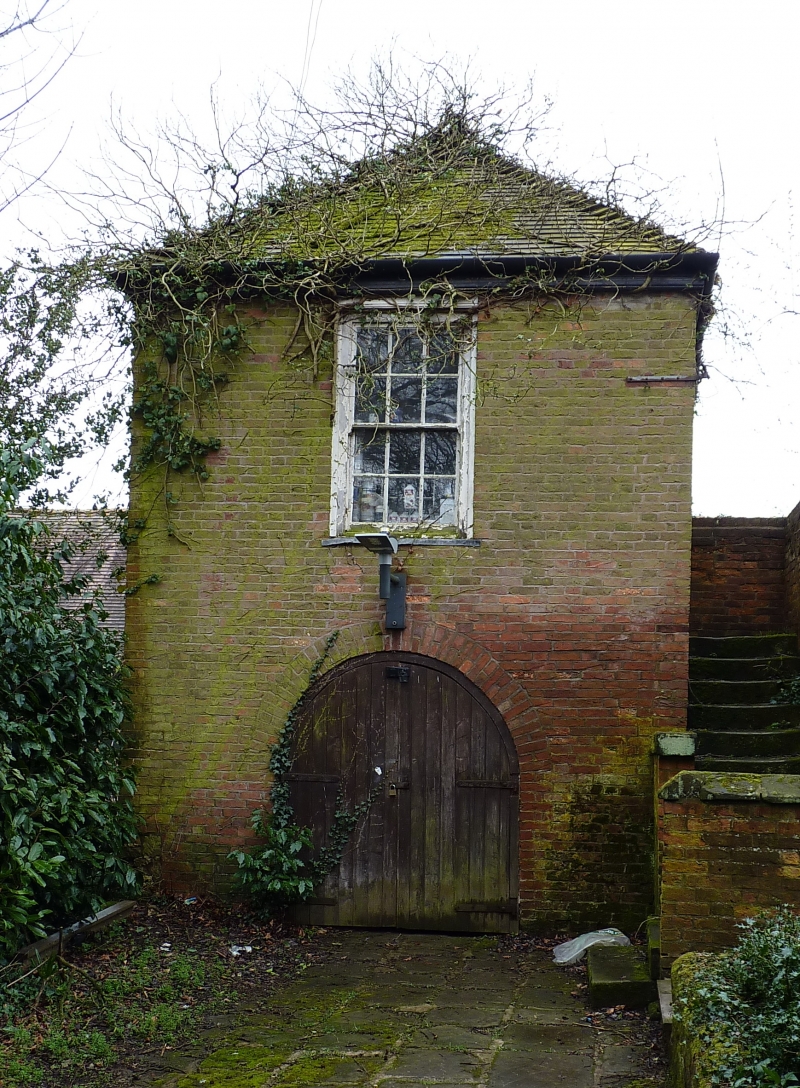
C18. Small square red brick building. The pyramidal tile roof has collasped.
Two-storeys. One bay sides. Ground floor open with arched entrance. Sash window
with glazing bars above. External stairs to first floor at side.
Listing NGR: SJ6946204217
External links are from the relevant listing authority and, where applicable, Wikidata. Wikidata IDs may be related buildings as well as this specific building. If you want to add or update a link, you will need to do so by editing the Wikidata entry.


Other nearby listed buildings
