Approximate Location Map
Large Map »
Latitude: 51.4768 / 51°28'36"N
Longitude: -1.6207 / 1°37'14"W
OS Eastings: 426441
OS Northings: 175379
OS Grid: SU264753
Mapcode National: GBR 5XY.C34
Mapcode Global: VHC1J.V4LR
Plus Code: 9C3WF9GH+PP
Entry Name: 6, the Butts
Listing Date: 9 September 1977
Grade: II
Source: Historic England
Source ID: 1034178
English Heritage Legacy ID: 310465
ID on this website: 101034178
Location: Aldbourne, Wiltshire, SN8
County: Wiltshire
Civil Parish: Aldbourne
Built-Up Area: Aldbourne
Traditional County: Wiltshire
Lieutenancy Area (Ceremonial County): Wiltshire
Tagged with: Building
SU 27 NE ALDBOURNE THE BUTTS
(west side)
9/5 No 6
9.9.77
GV II
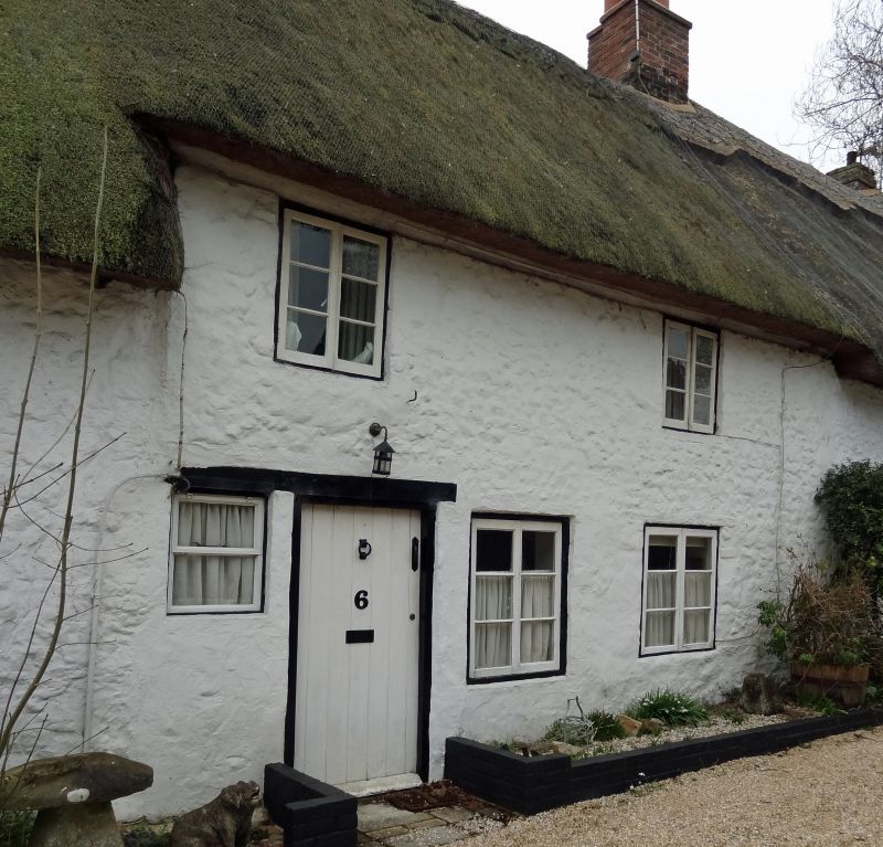
Cottage in row. C17-C18. Whitewashed stone rubble, thatched roof.
1-storey and attic, 1 bay with added rear bay. Left end stack.
Boarded door. Timber 6-pane casement window.
Listing NGR: SU2644175379
External links are from the relevant listing authority and, where applicable, Wikidata. Wikidata IDs may be related buildings as well as this specific building. If you want to add or update a link, you will need to do so by editing the Wikidata entry.


Other nearby listed buildings
