Approximate Location Map
Large Map »
Latitude: 52.326 / 52°19'33"N
Longitude: -1.5569 / 1°33'24"W
OS Eastings: 430297
OS Northings: 269859
OS Grid: SP302698
Mapcode National: GBR 5LS.37F
Mapcode Global: VHBX9.YSTR
Plus Code: 9C4W8CGV+97
Entry Name: Chesford Bridge
Listing Date: 23 January 1987
Grade: II
Source: Historic England
Source ID: 1035228
English Heritage Legacy ID: 307992
ID on this website: 101035228
Location: Ashow, Warwick, Warwickshire, CV8
County: Warwickshire
District: Warwick
Civil Parish: Leek Wootton and Guy's Cliffe
Traditional County: Warwickshire
Lieutenancy Area (Ceremonial County): Warwickshire
Church of England Parish: Leek Wootton All Saints
Church of England Diocese: Coventry
Tagged with: Bridge
BLACKDOWN Kenilworth Road
11/125 Chesford Bridge
-
- II
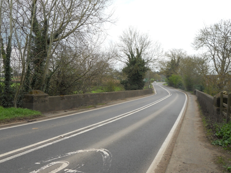
Circa C18 sandstone ashlar bridge over the River Avon. Three semicircular
arches with string course at road level. Parapets with plain copings and
rectangular piers at each end. (Part of bridge in Leek Wootton Parish.)
Listing NGR: SP3029769859
External links are from the relevant listing authority and, where applicable, Wikidata. Wikidata IDs may be related buildings as well as this specific building. If you want to add or update a link, you will need to do so by editing the Wikidata entry.


Other nearby listed buildings
